2009.08 Karelia 2009
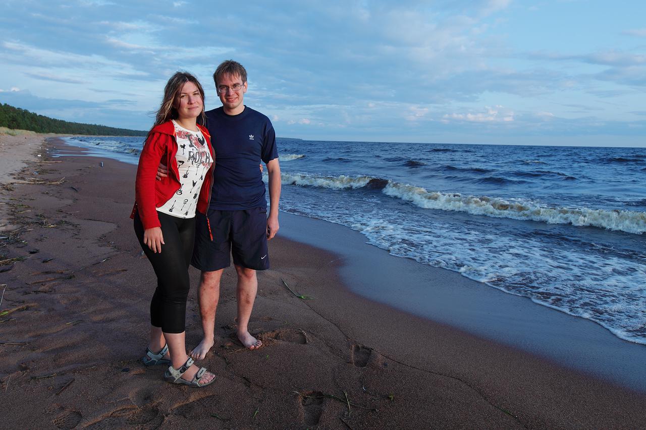
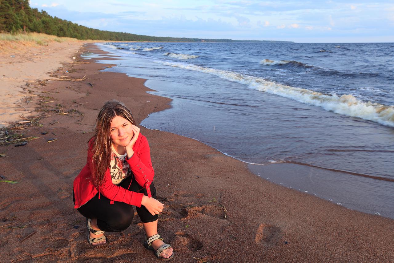
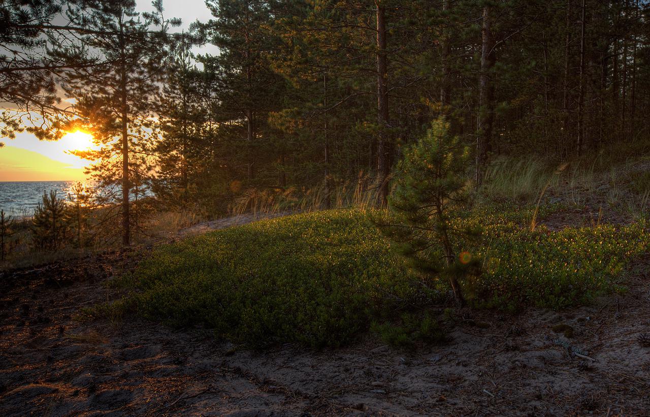
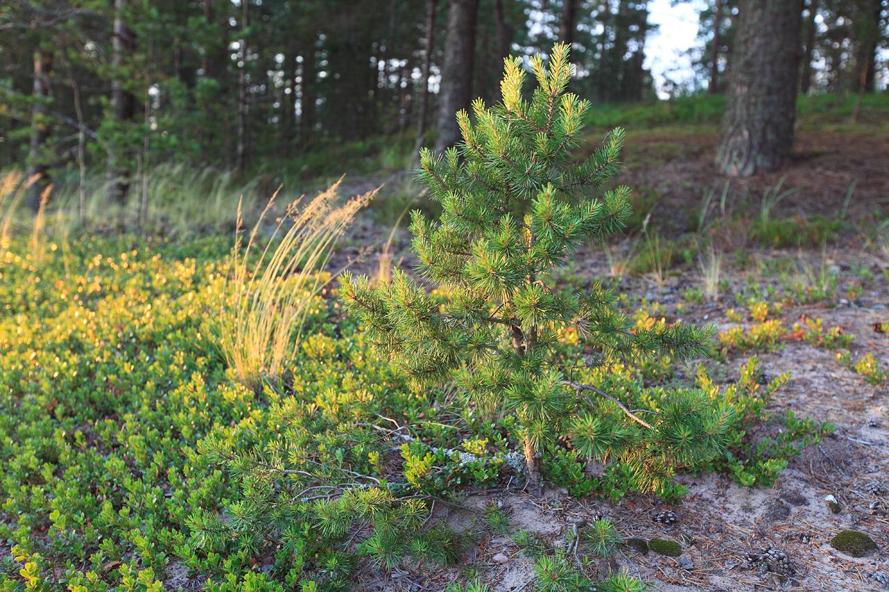
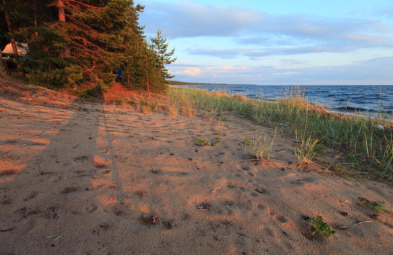
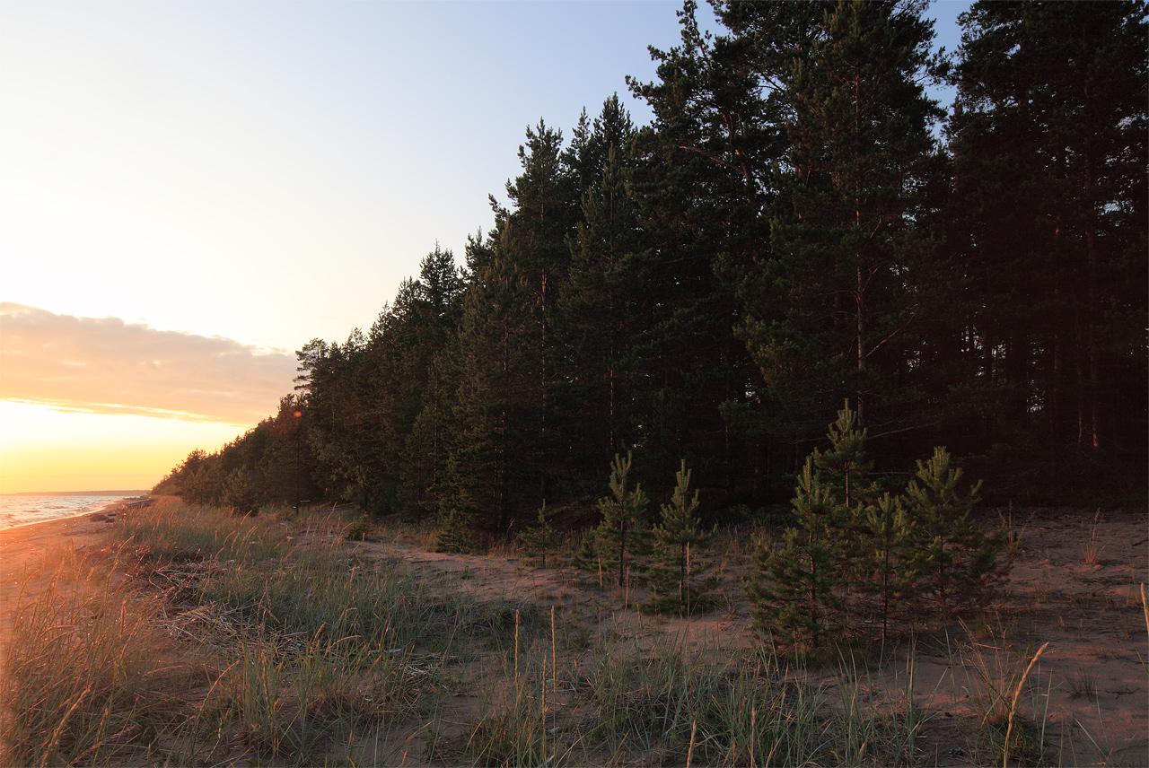
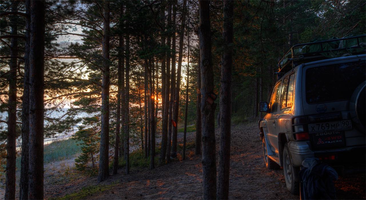
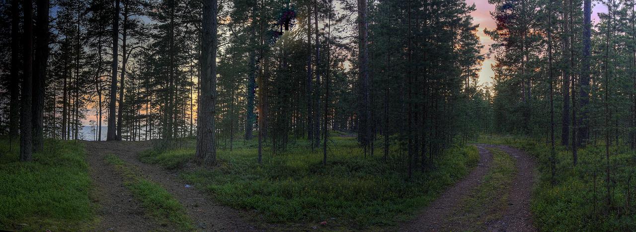
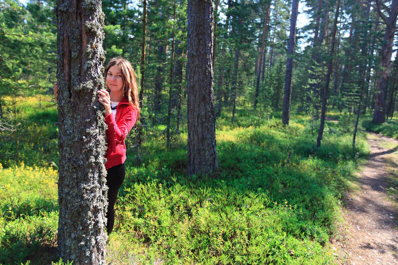
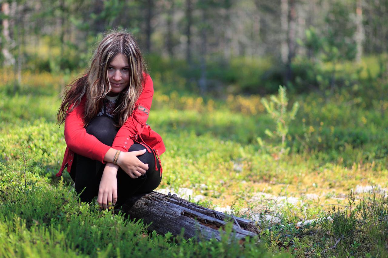
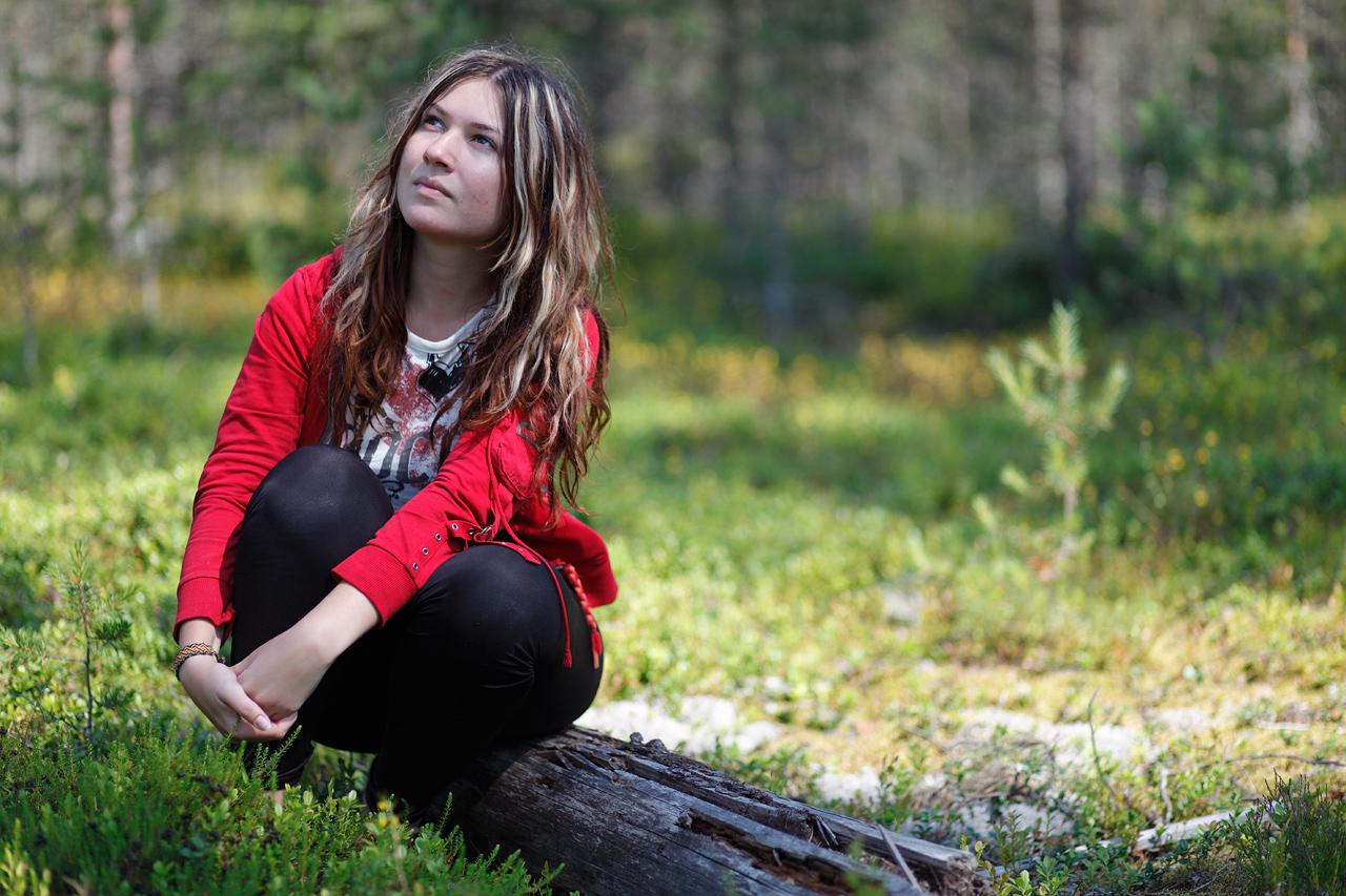
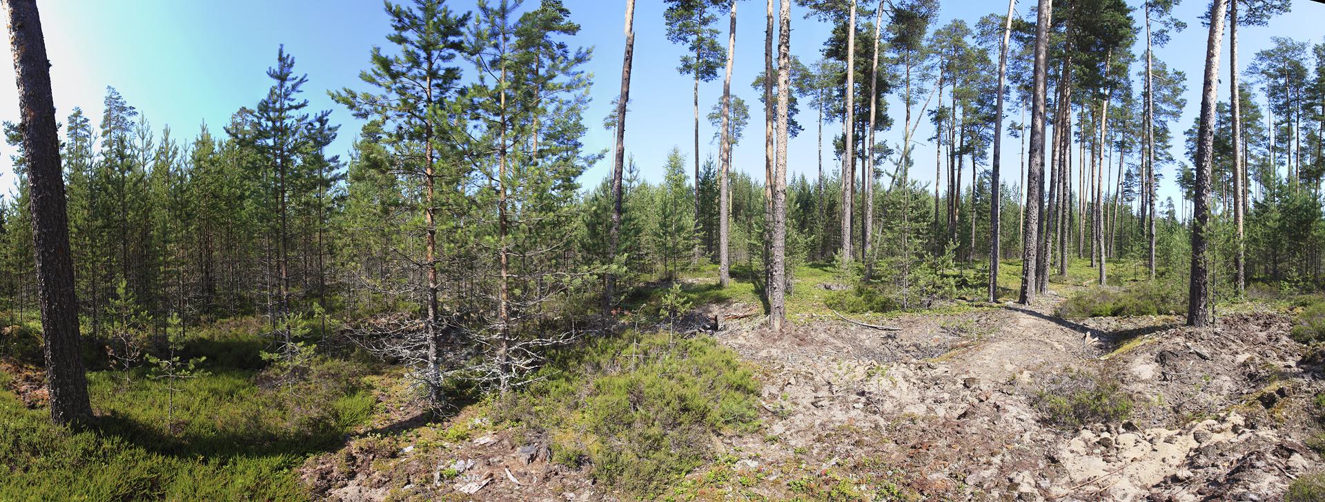
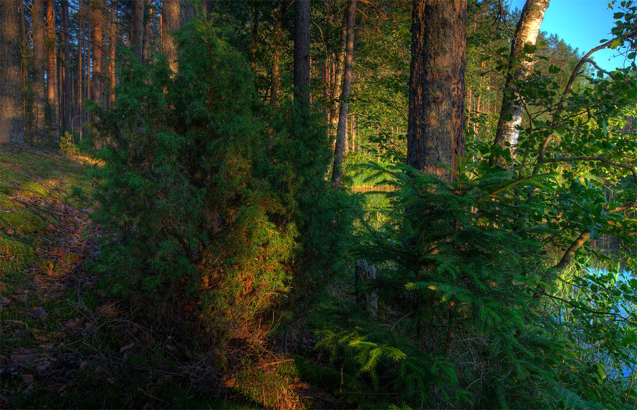
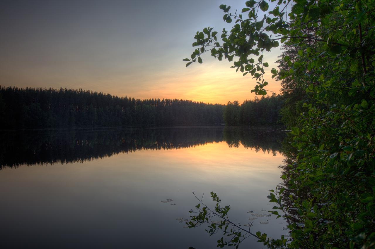
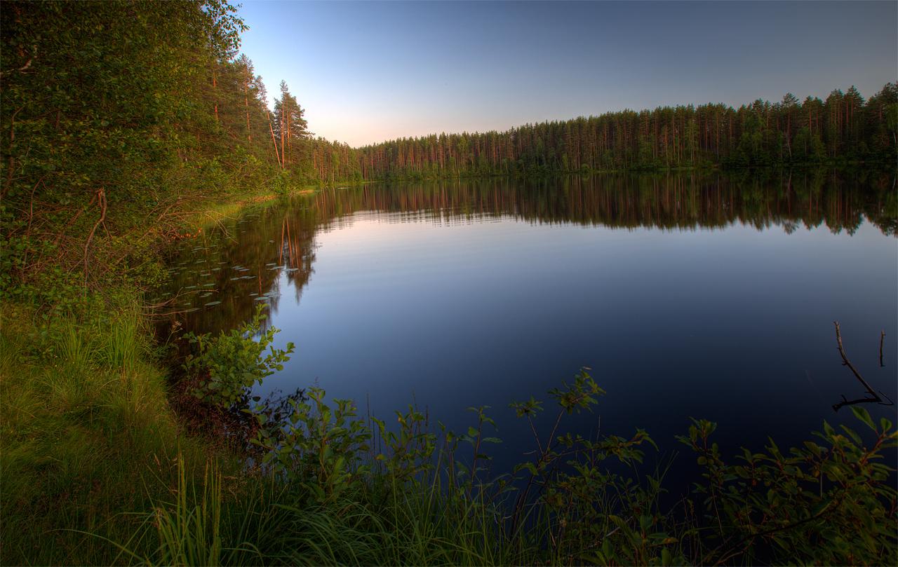
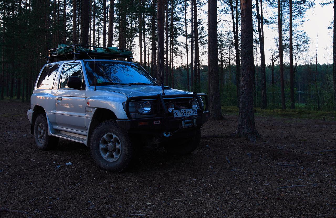
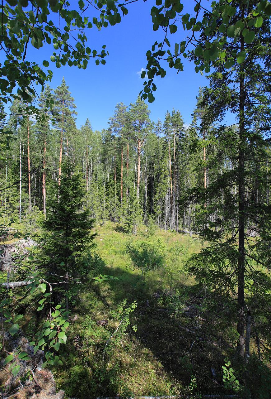
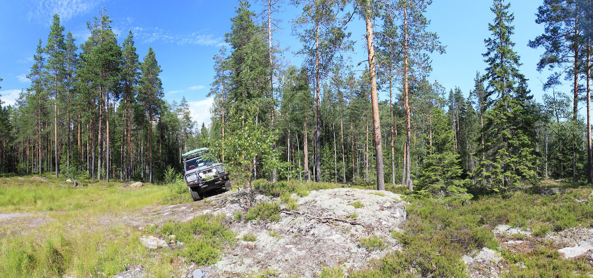
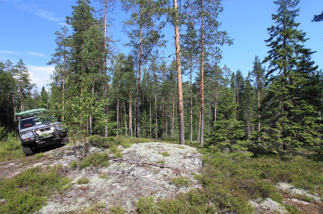
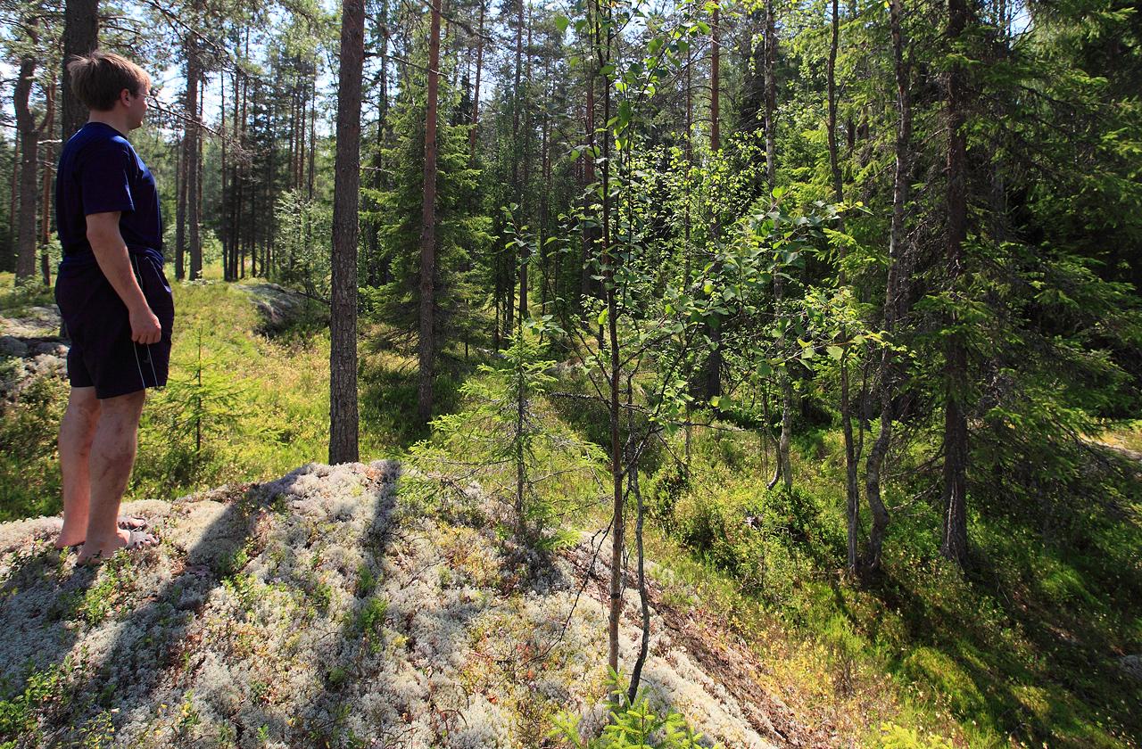
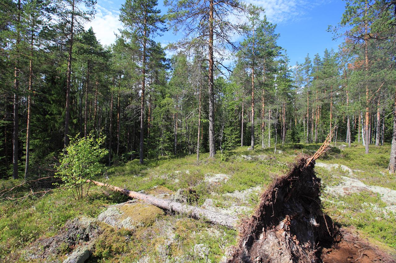
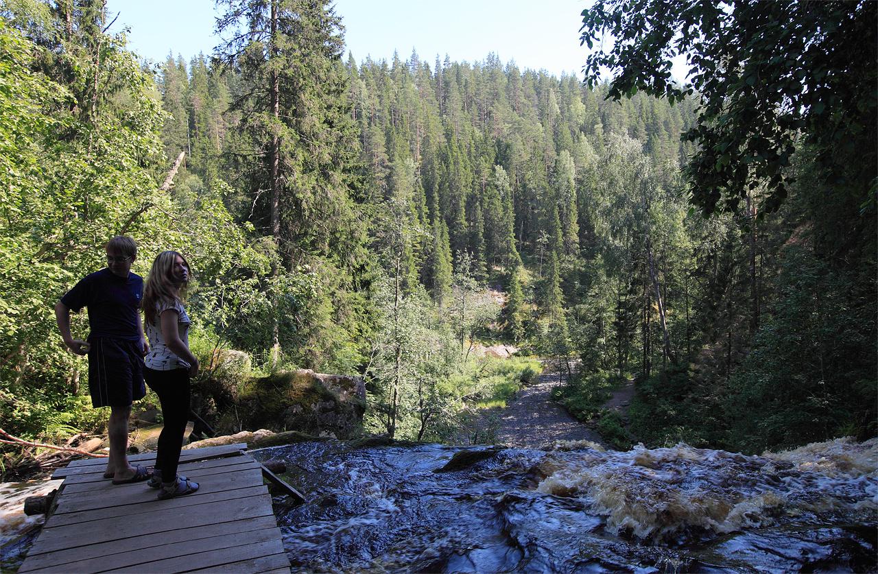
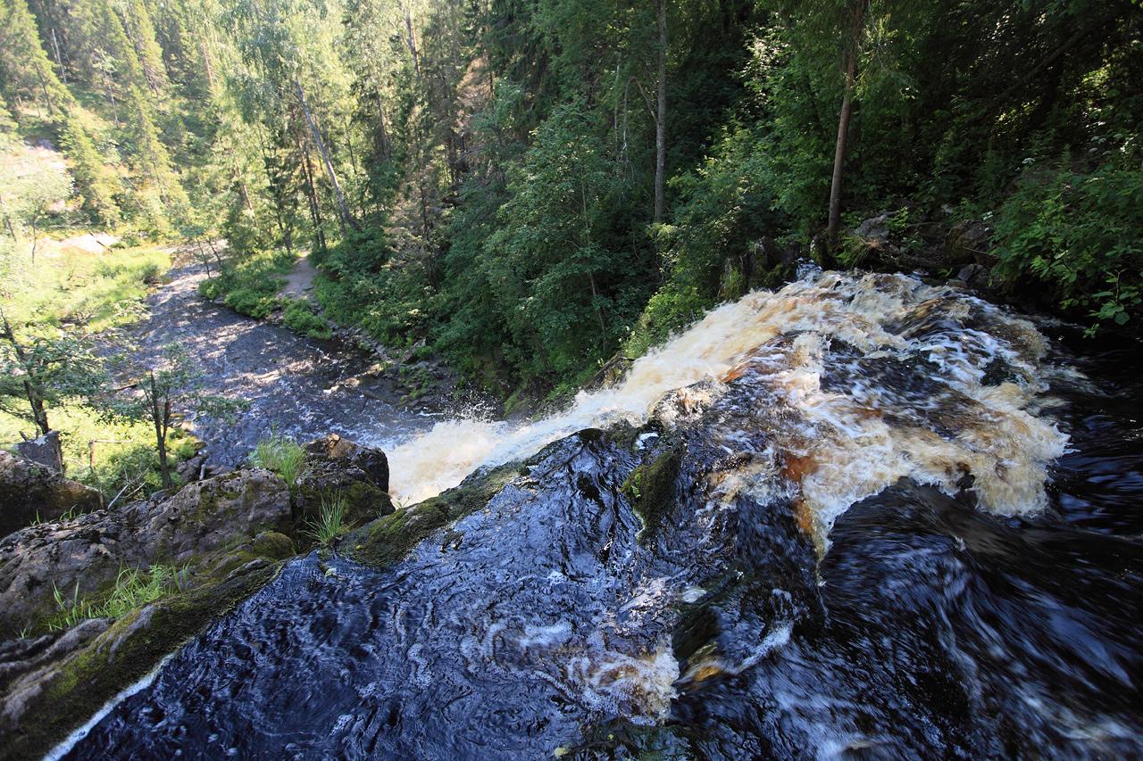
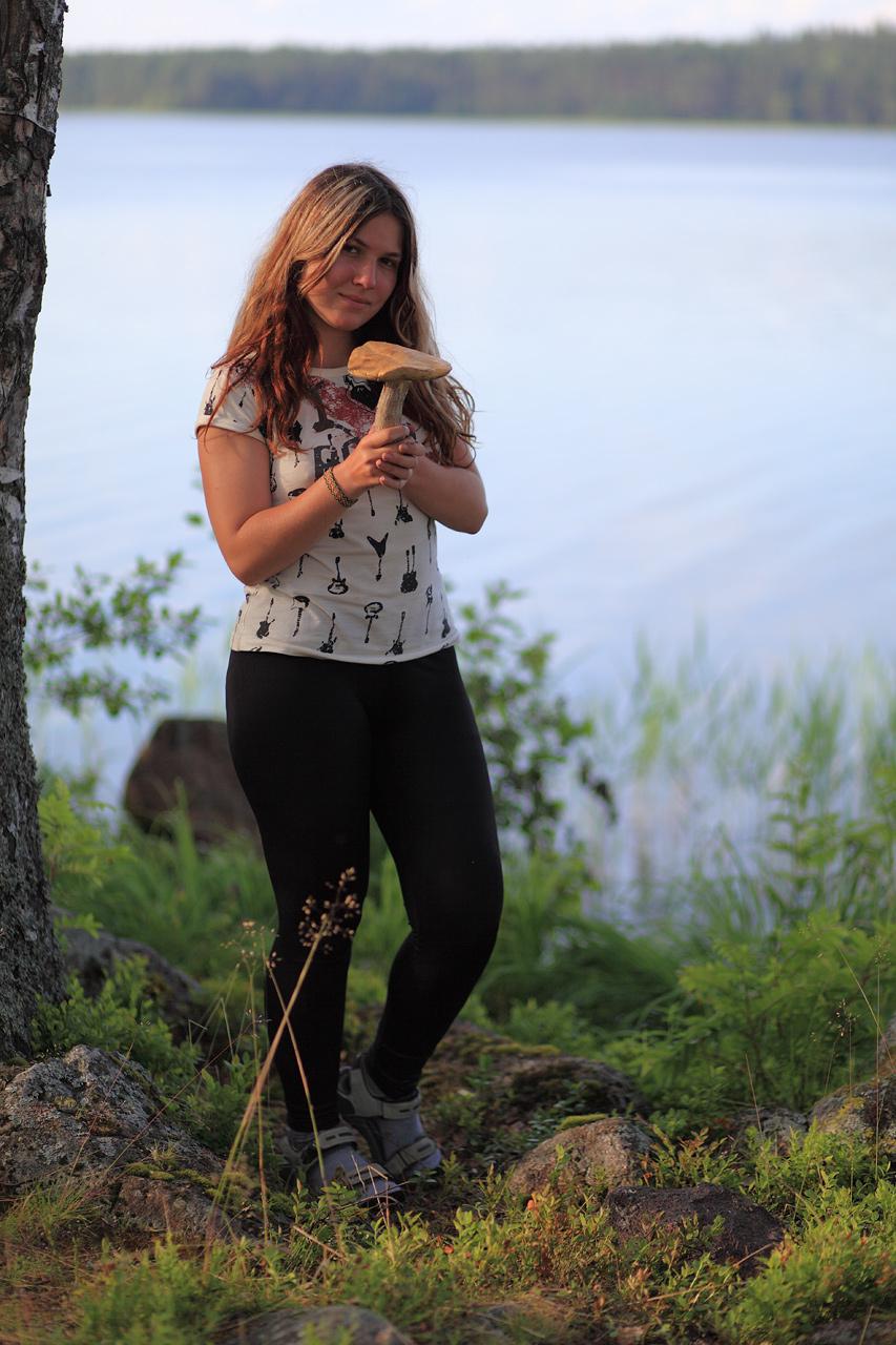
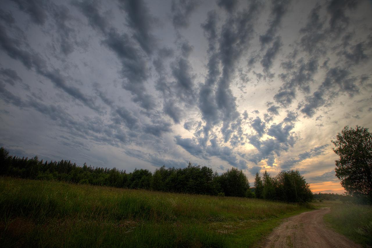
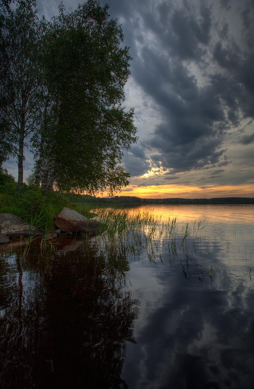
We’re back from Karelia.

##Summary of our little expedition:
-
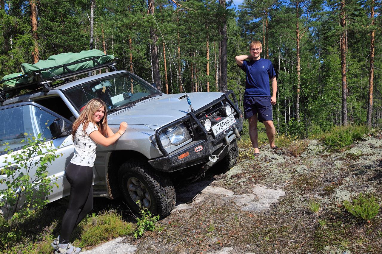
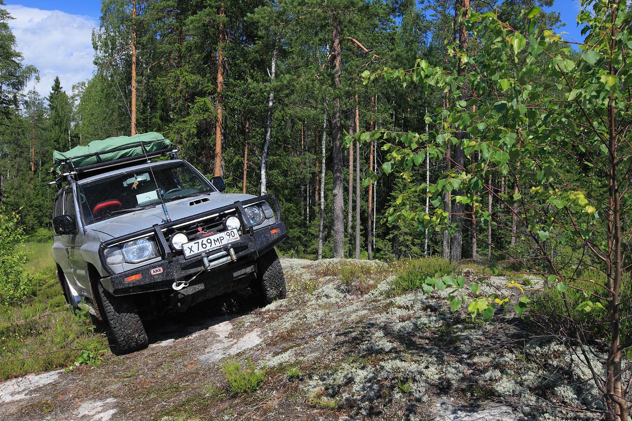
3700km [GPS track from Koshak’s “onboard” navigator] of good highways, bad asphalt roads, top-soil roads, forest roads, marsh roads and almost no roads at all with a bit of hardcore offroading (electric winch *is* a savior).
-
Visited places:
-
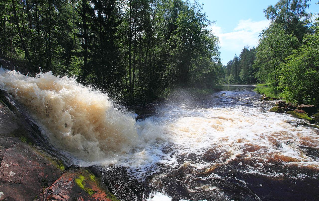
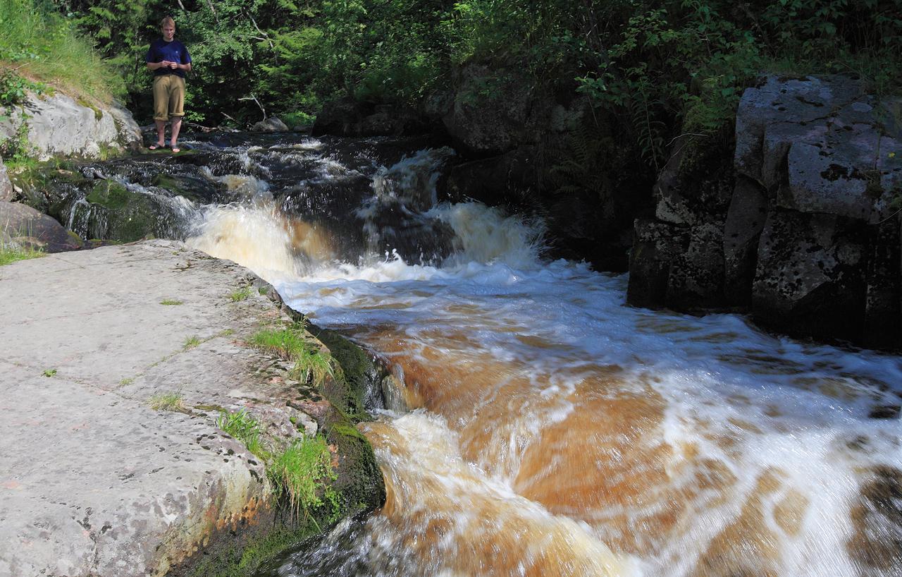
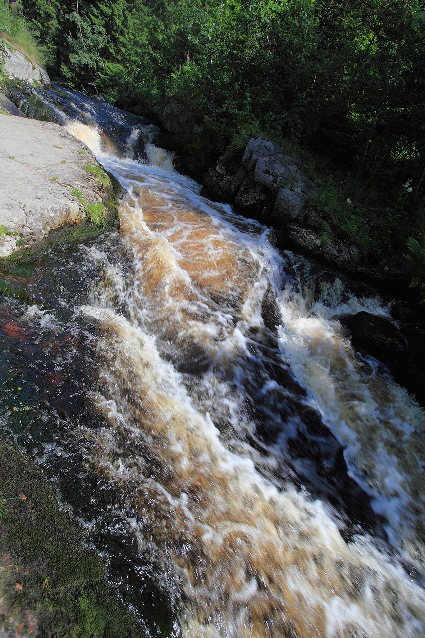
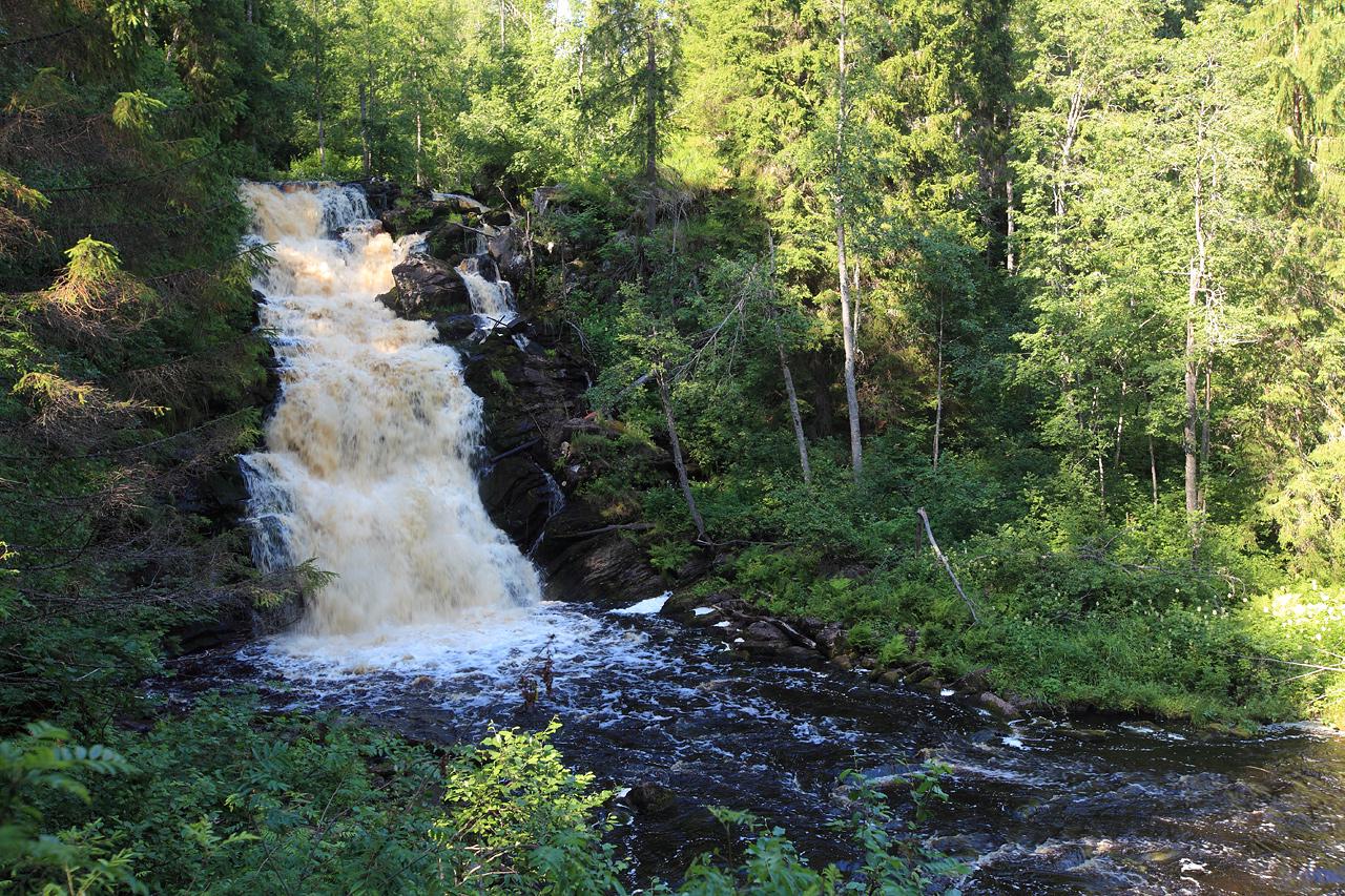
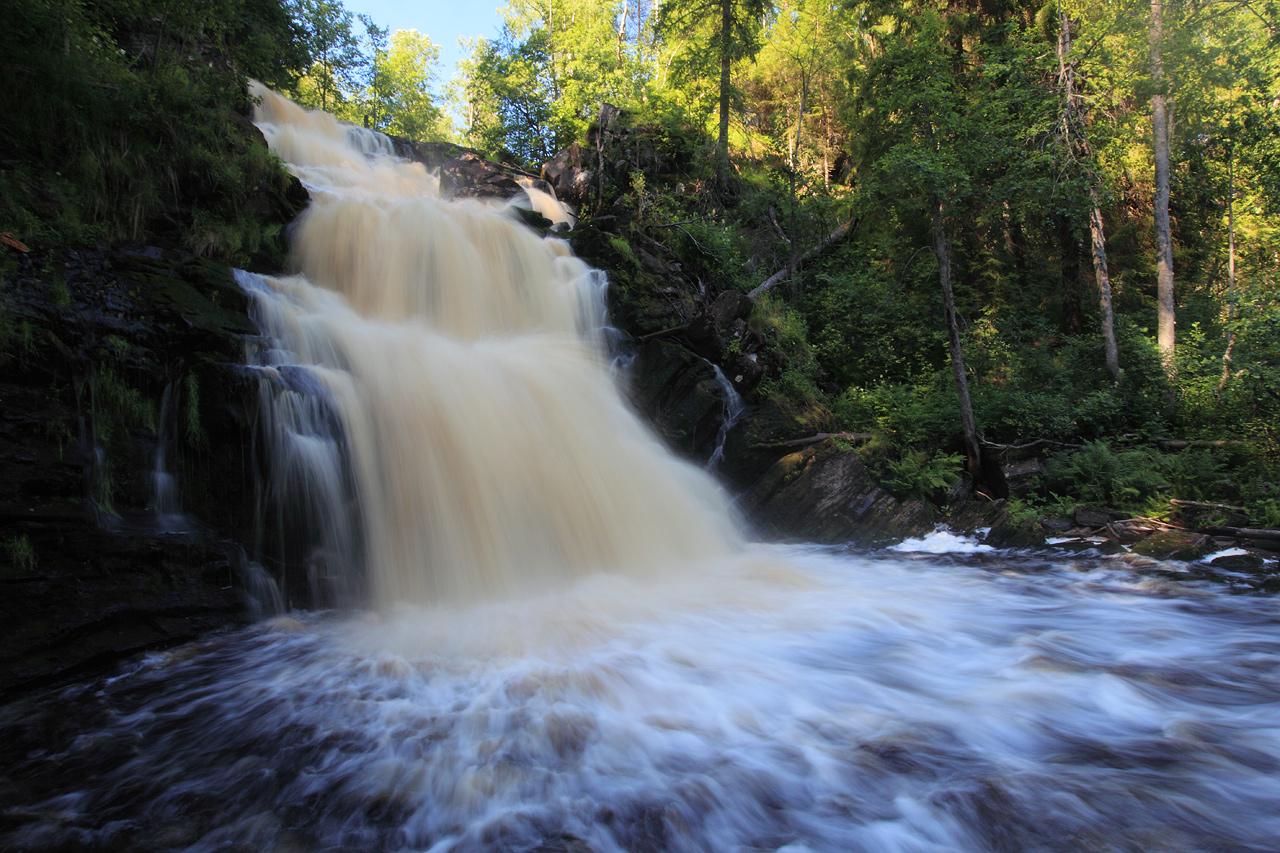
3 different waterfalls including Kivatch waterfall;
-
ruins of Mannerheim line;
-
Vottovaara mountain [wiki article in Russian];
-
forest lakes and other beatiful places;
-
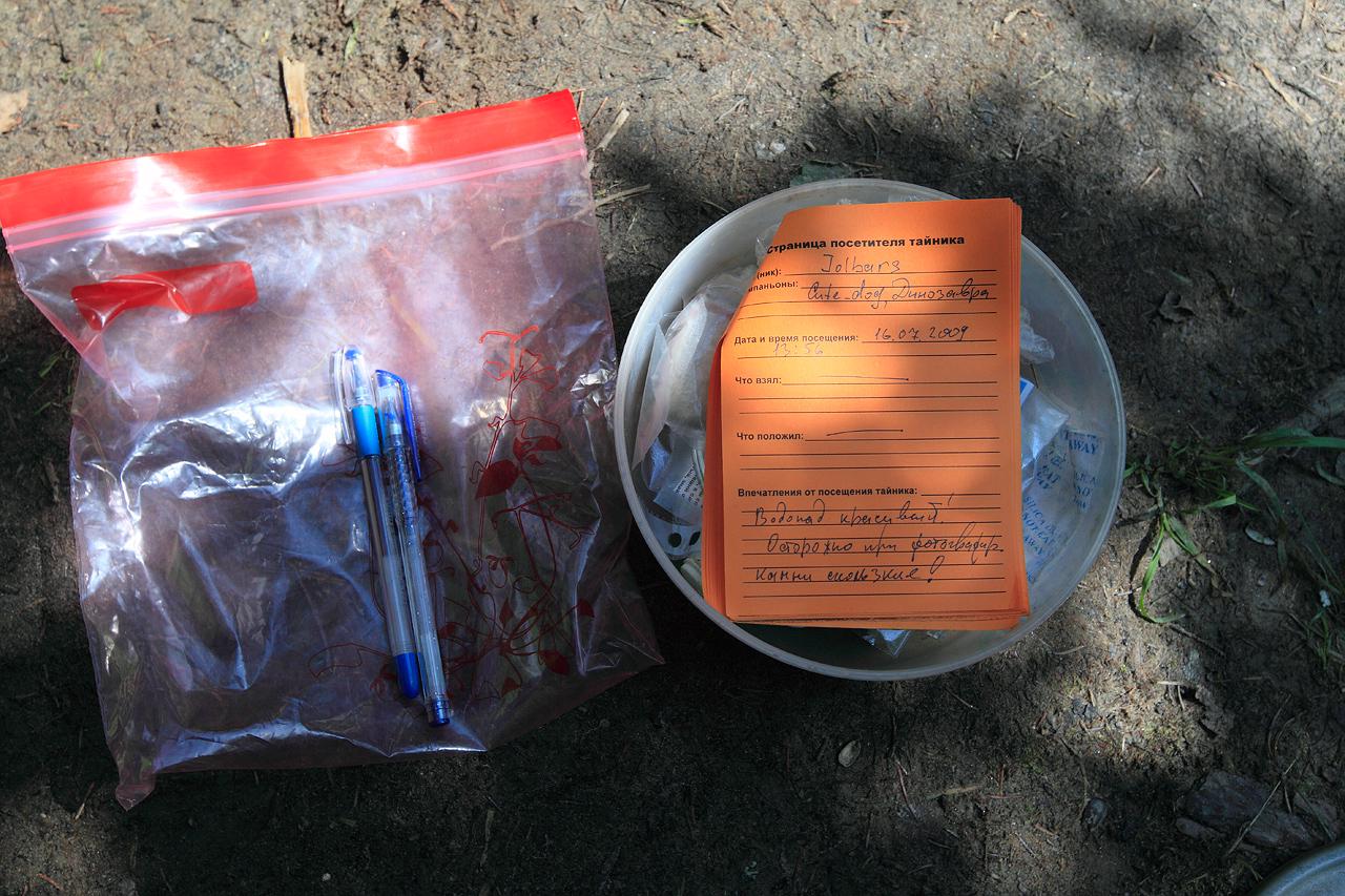
4 geo caches found (Vottovaara, Devil’s stairway, Strawberry waterfall, Mannerheim line);
-
55 Gb of photos shot;
-
400l of diesel fuel burned;
-
countless fan - achieved =^_^=.

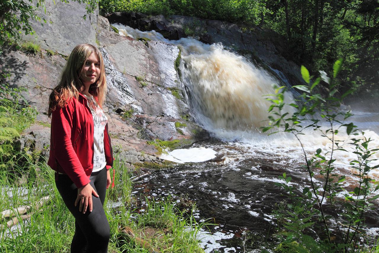
Dinosaura,  cute_dog
,
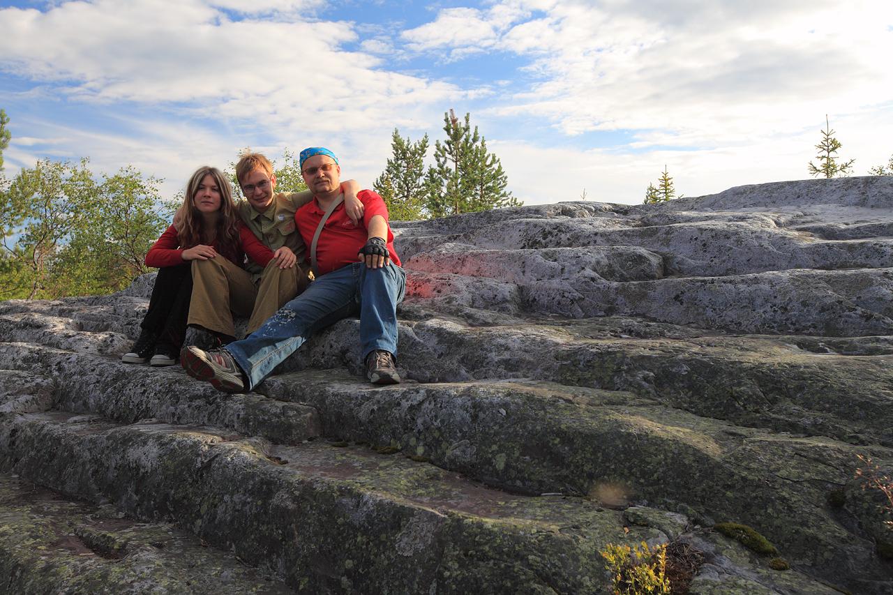
“Devil’s stairway” aka “Stairway to heaven”,
at the top of “Death-mountain” - east peak of Vottovaara mountain,
Republic of Karelia.
##Day 2
-
Total travel time: 09:43 hours
-
Total travel distance: 588.94 km (365.95 Mi)
-
Average speed: 60.7 km/h (37.28 Mph)
-
Starting Point: Zhukovsky (my home)
-
Finishing point: Novgorod oblast
-
GPS Track: [OneWay.ru]
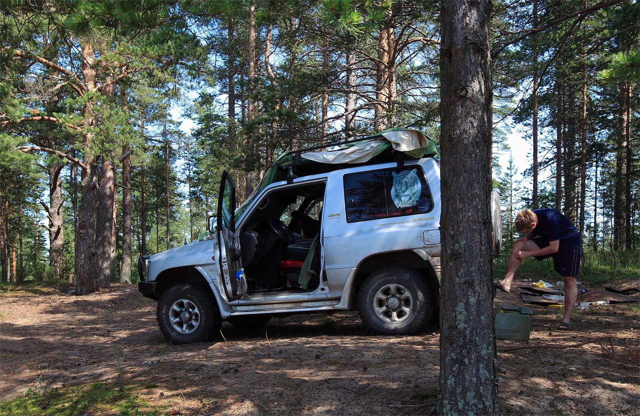
Well, our little adventure started a little bit boring. Some of our crew returned late from a party and, well, it was too cruel to get up at 4-5 AM for early start. So, when we get up, brushed our teeth, get a breakfast and load Koshak with travel gear it was past 11 AM. And that meand Moscow traffic jams was already there to catch us, and we could lost several ours just to travel around the city by MKAD to get to M10 highway.
So I took a long road around Moscow, on a fabled A-107 ring highway, also called by locals as “Small Concrete Ring of Moscow”. That highway has a long story, being build after WW2 as a part of [S-25 Berkut] air defense program. This ring with 45 km radius was build for mobile surface-to-air complexes to change their positions after shooting down first wave of attacking planes and missiles. For now those strategic roads long ago covered with asphalt, last of S-25 missile complexes being retired just after my birth date and replaced by newer defense complexes. But ghosts of a Clod War still echoing in this roads, with a cracks at regular intervals where was loose places between old concrete plates underneath.
After some hours we was on our intended M-10 highway, traveling north inside constant stream of heavy trucks hauling goods between two largest cities of Russia (Moscow and St. Petersburg). Dusted villages, traffic control, huge bridges… well, boring and tiresome road. The only thing that lighten it and lighten our travel in such crowded condition was CB transceiver I installed recently. Constant chatter of long-haul truck drivers giving away road conditions, traffic jams, locations of speed control radars and police was a real help and, it also brighten our road. Well, the language of those drivers could be, er, a little less … salty, but those guys work in this kind of traffic conditions every day. For months. And even I from time to time can’t hold swearing when some mf bi***…. never mind (and I’m really a well-mannered and civilized tiger, thank you).
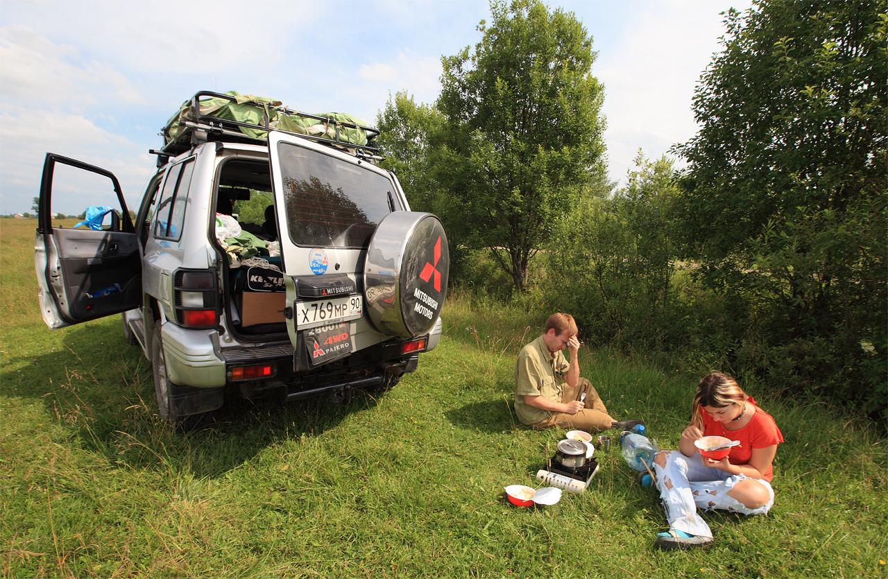
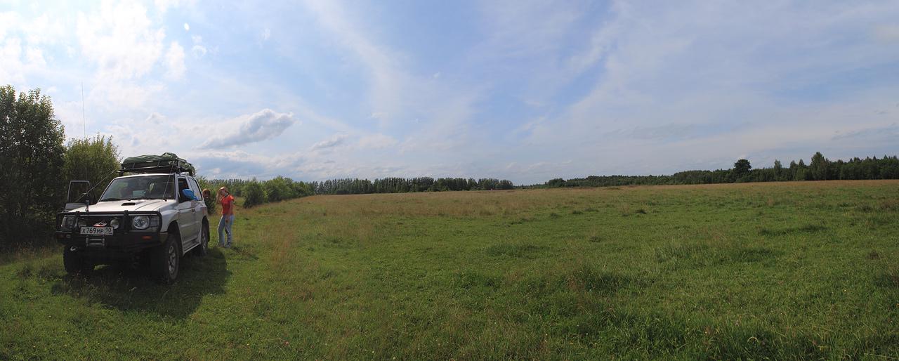
We had a quick dinner somewhere near Torzhok town in Tver Oblast, in a field not far from a highway. And rode on.

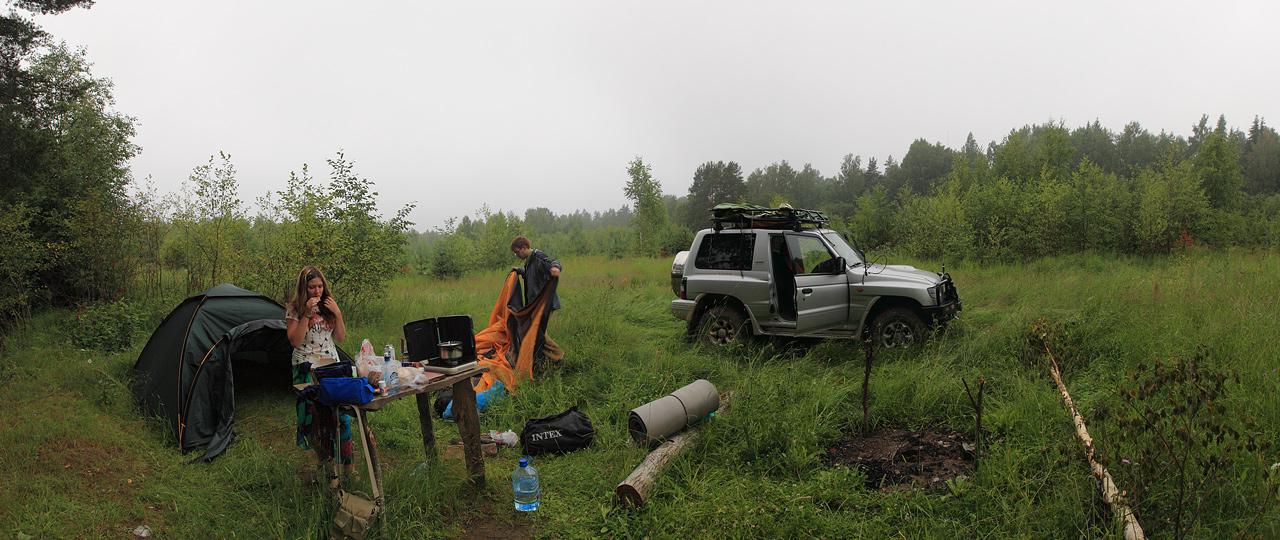
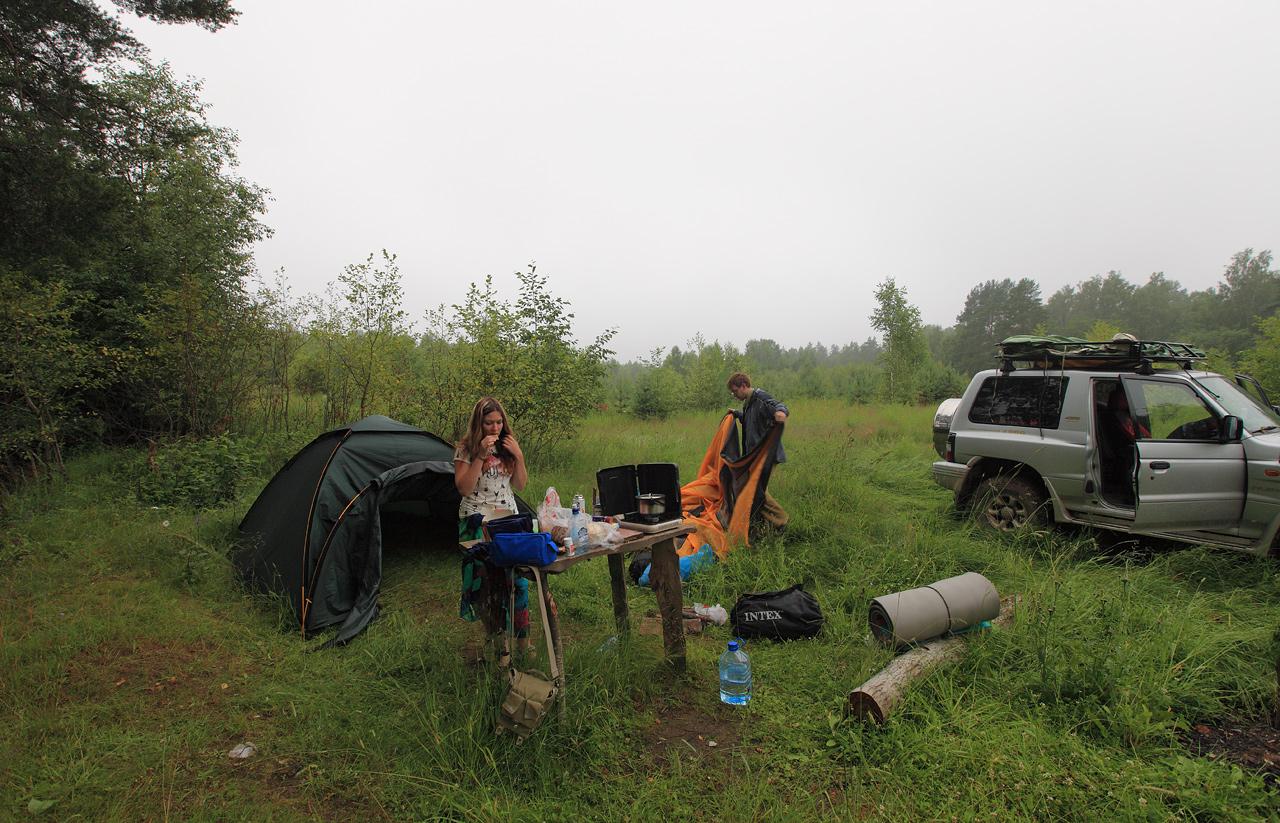
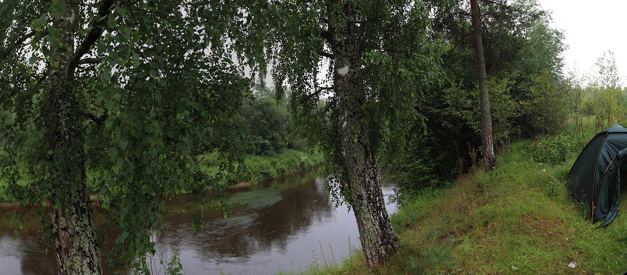
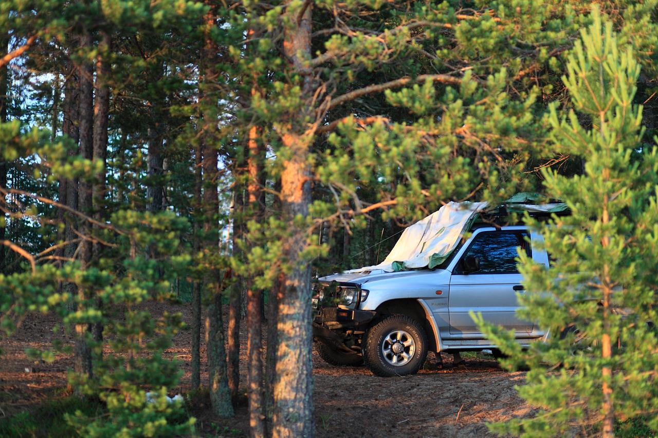
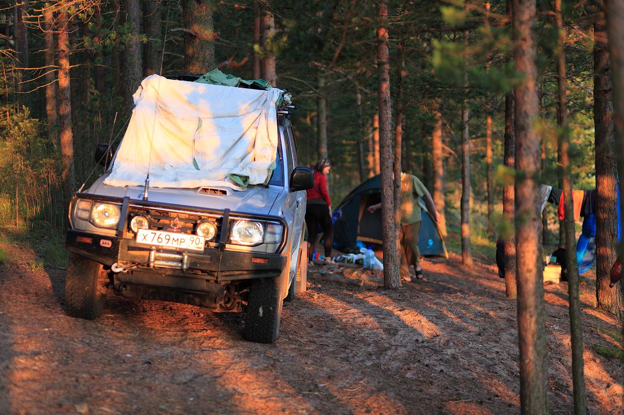
It was apparent that we won’t reach Karelia any time soon, so we decided to make a stop and camp somewhere. I remembered a cozy spot some near Holova river (Russian: Холова), just past Dolgii Most village (Russian: Долгий Мост) on M-10 highway, where we camped a year before. About two klicks of a forest road (suitable except maybe last hundred meters by every standard car) and we arrived at river bend with a old campfire and makeshift table made by hunters. That place actually was inside a hinting reservation on a territory where all unauthorized hinting is prohibited, but since we was after a different kind of adventure than killing some beasts for fun it was okay to camp there.
The place meet us with a bit of rain followed with full-scale thunderstorm. We made our supper on a portable gas stove (every bit of wood was wet) and go to bad, listening on a constant clutter of rain against our tent. So hard to fall asleep with all those sounds, even through we were tired we still lie for a while and listen. Waked up later that night cute_dog and I even tried to bath in a river. Water was cold, banks were slippery and mosquitoes were ready.


P.S. For those of you who happens to travel through Russia (or, well, almost every other East Europe country) by car with CB transceiver installed, international long-haul truck drivers channel is 15C E AM channel (27,135 MHz amplitude modulation), through some could work at 15C R AM (27,130 Mhz) Belarus drivers for example.
##Day 3
Total travel time: ~7* hours
Total travel distance: ~450* km (279.6 Mi)
Average speed: ~66 km/h* (41 Mph)
Starting Point: Novgorod oblast
Finishing point: shore of the lake Ladoga
GPS Track: [*]
** well, I actually lost GPS track for this day, sorry folks (and for the numbers I have to use the data for the back trip :P)*

Second day was a continuation of a first day’s highway road, well up until Karelia republic itself. We rided on M-10 highway until the border of Leningrad oblast, then shortcut on A-115 highway through Kirishi and Volkhov towns and finally we are on M-18 highway, main transportation route of Karelia, running from St. Petersburg to Murmansk. Well, for what it worth it’s the best road in whole Republic of Karelia and, frankly, one of the few asphalt roads there.
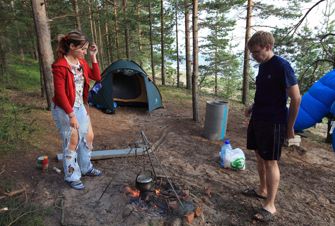
There wasn’t something notable at those ride, so in a few hours we were safely inside the borders of Republic of Karelia, near Olonets town. And I knew just the right place to camp there. One hour of forest roads, some time spend searching for a better place to cump, a bit of offroad fun and finally we arrived at the shore of lake Ladoga, just 15km south from Olonets.

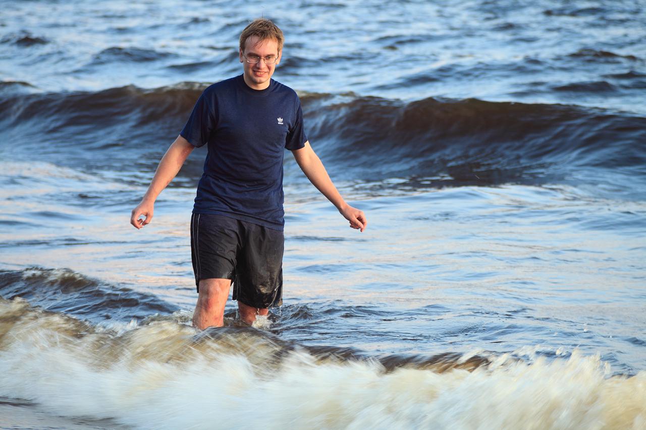
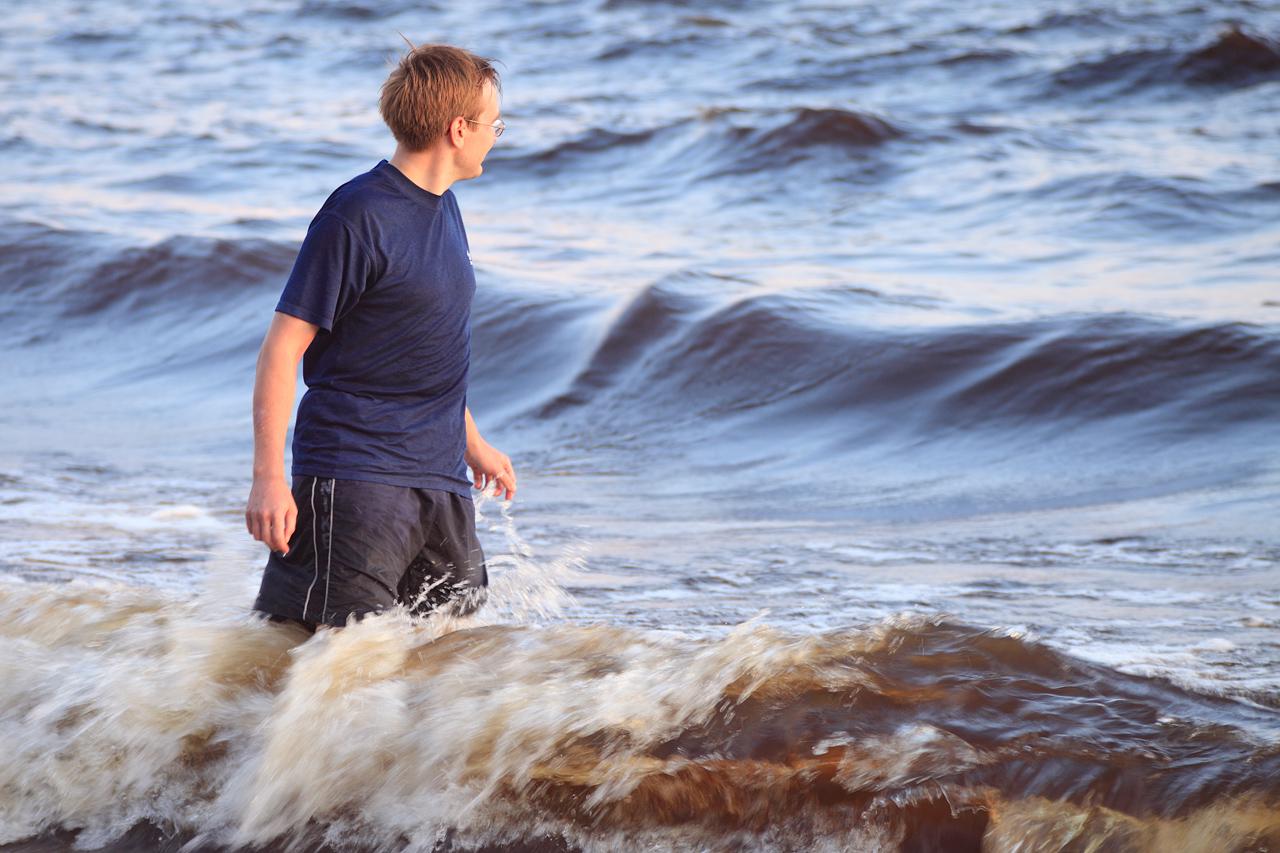
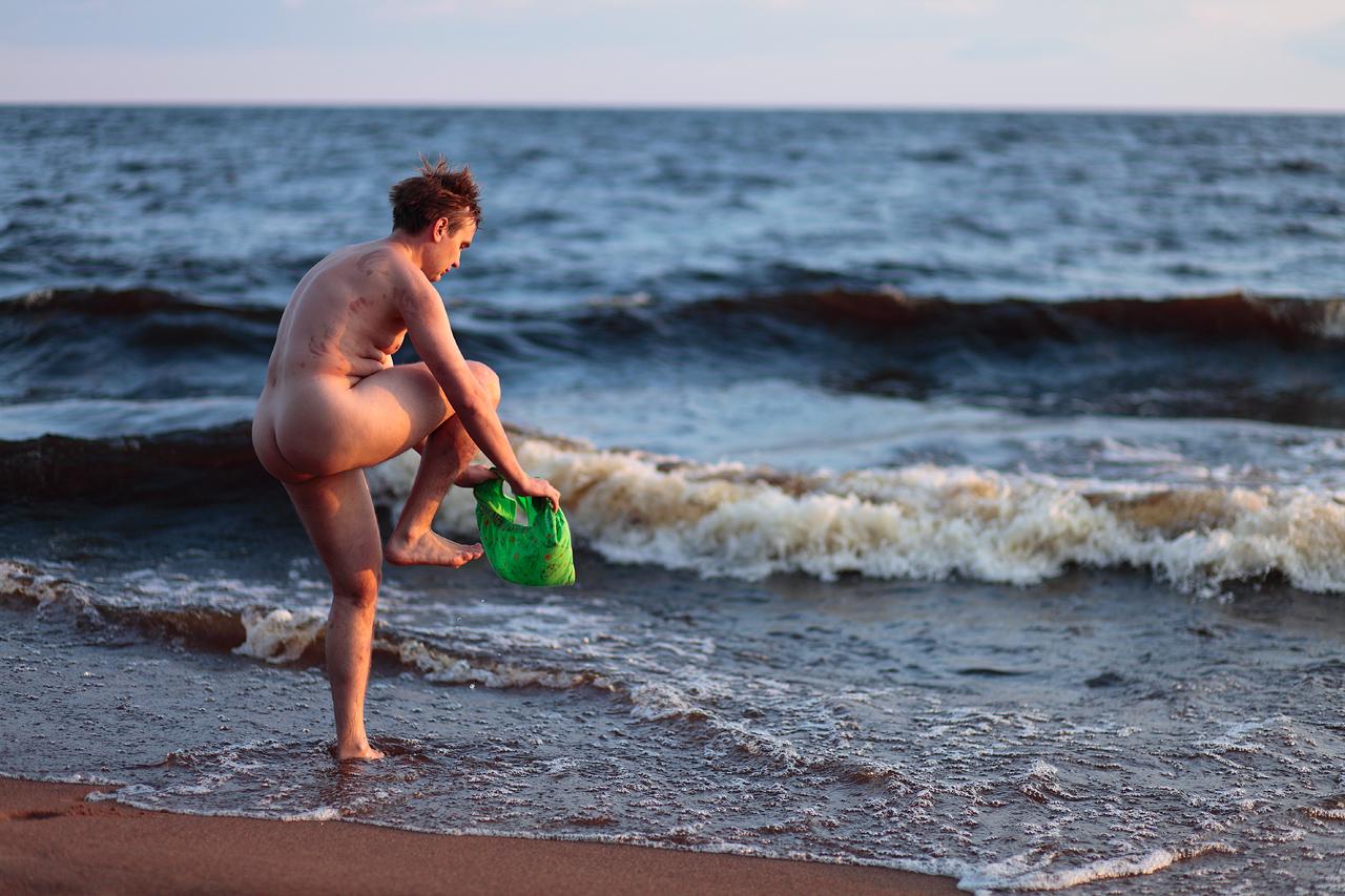
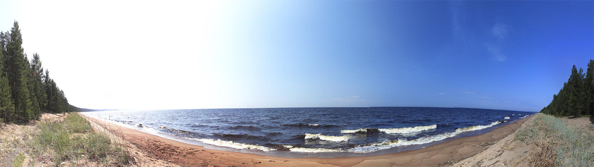
Well, that was really refreshing after those long hours in car and mosquitoes of Holova river - constant breeze from Ladoga and not a single mosquito around.


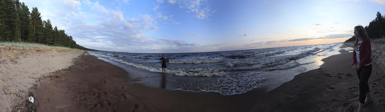
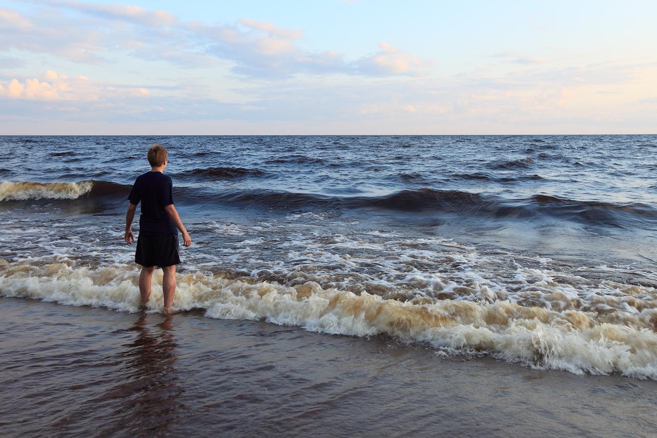
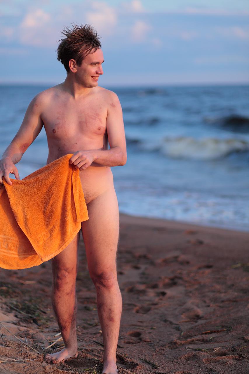
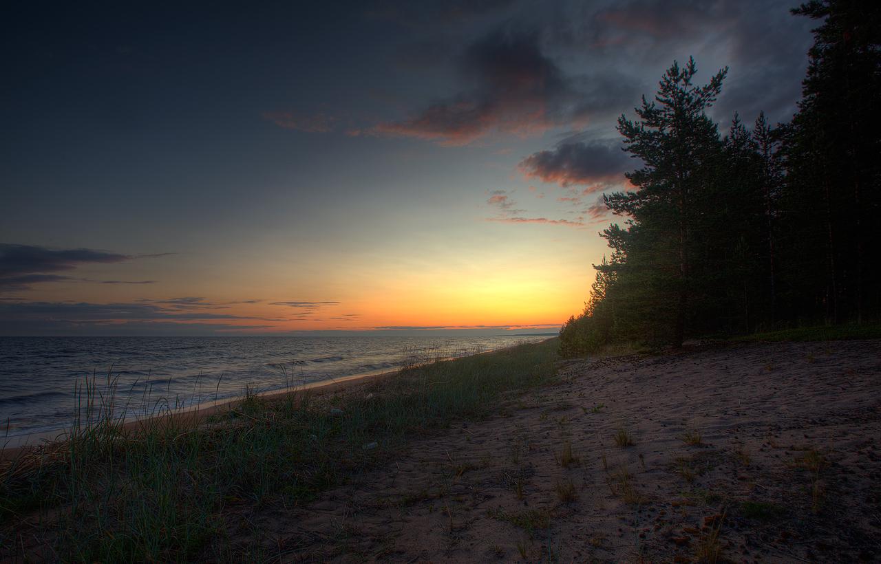
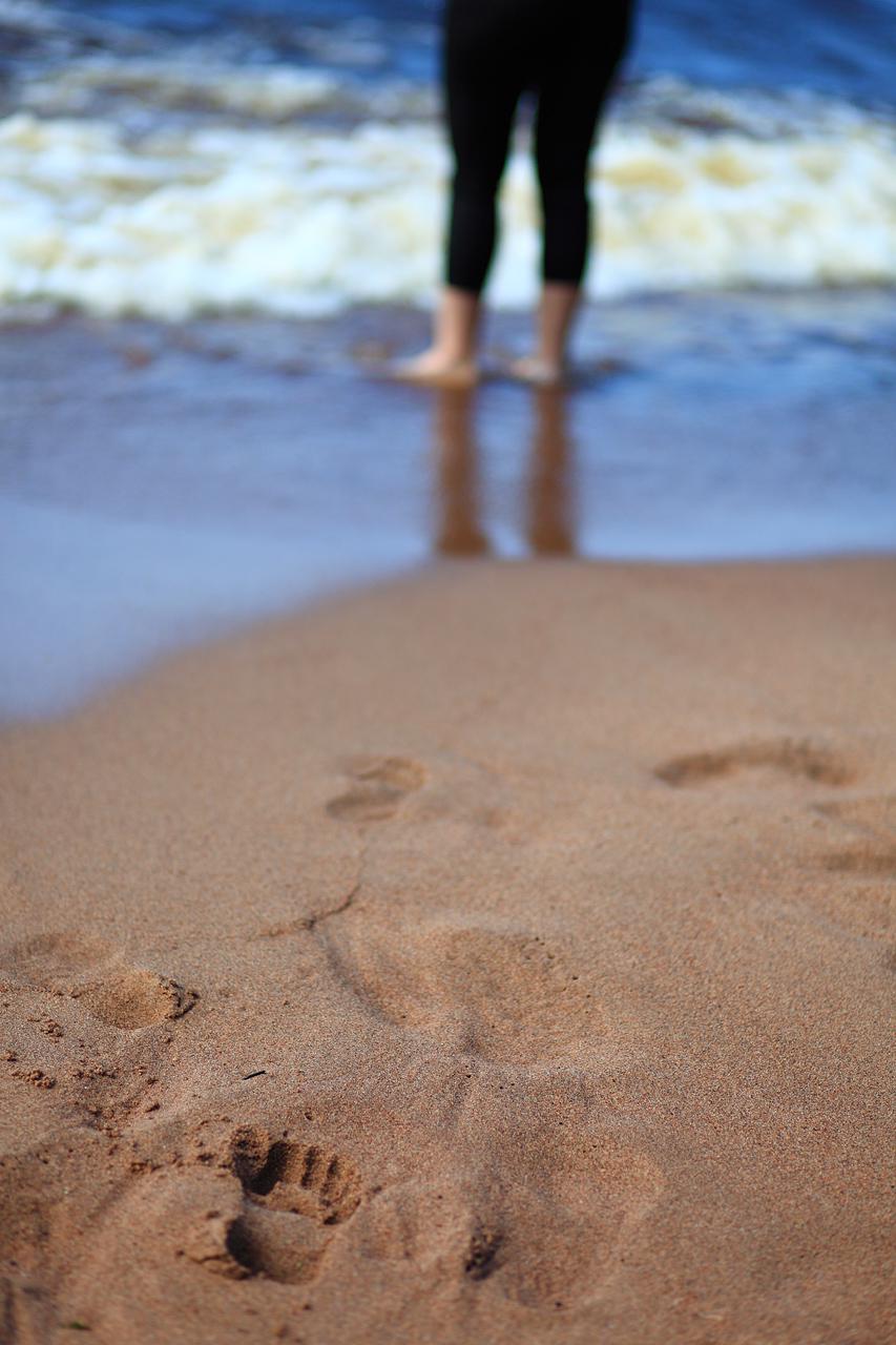
And Ladoga gave us the whole impression of a seashore, with it’s sound of waves, sea smells, sand beach and sun.


Well, the only thing reminded us we are not at the sea. That was the lack of salt when we went to take a swim.


And, well, the water was really cold, as should be for one of the great lakes of North.


Oh, and there was another sign of the North. White nights, that’s when sunsets are late and twilight lasts for all night.


We had to bear with those for all our time in Karelia.


As we travel in following days north towards Arctic Circle sunsets become more and more late and we had less and less darkness.

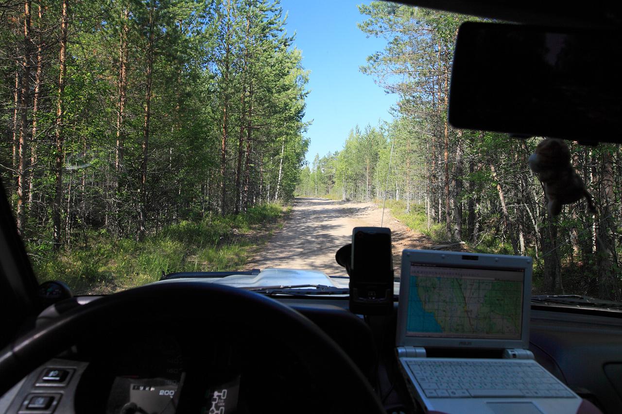
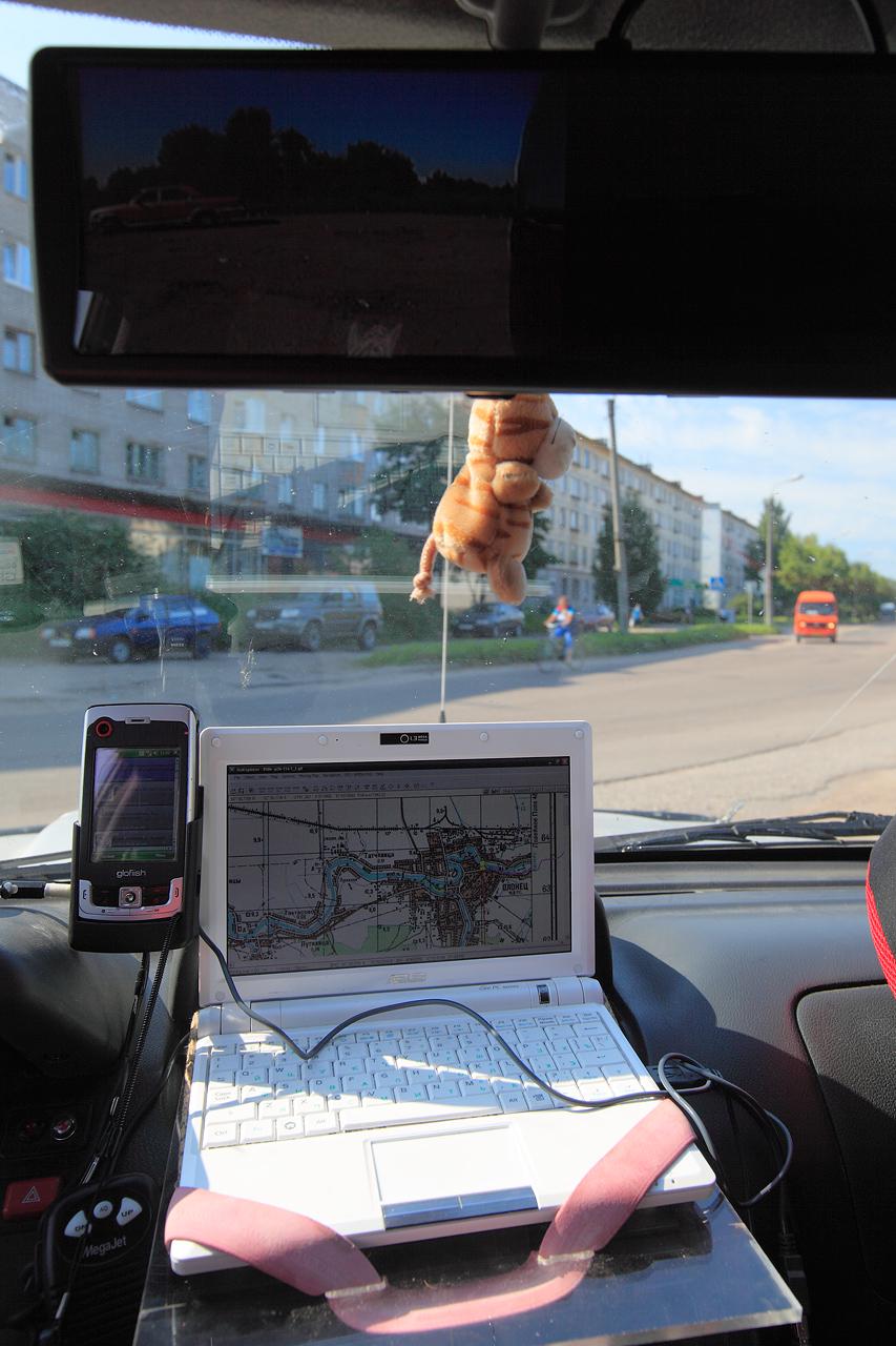
P.S. Few words about my GPS setup. I used Asus EEE Pc 900 strapped to Koshak’s dashboard with a makeshift table. It was working with GS338 Bluetooth GPS receiver, oziExplorer software and raster maps, mostly scans of old General Staff military maps. Well, those maps could be well out-of-date, but still Karelia doesen’t change much and those maps well more detailed than your general tourist maps.

##Day 4
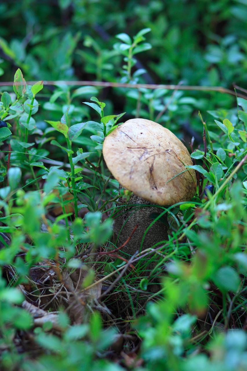
Well, after first two days and more than a 1000 kilometers of road we decided to take a little break and just rest. So, for the most part of the day we just sleep, swim, took a walk in the forest, eat blueberries and, well, just rest merrily :p.

 I wonder - do T-rex purr like a cats?


 Bam!
As place for our next camp we choose complex of small lakes not so far from our current location. In act it was backup location for the first day in Karelia. Well, why not. So, we gather our camp and rode on. But we decided to go on a different route and visit Olonets town to get some supplies and, well, to see the town itself. But first I wanted to check a north route near Ladoga’s shore, just to check where it goes.
Total travel time: 25 minutes
Total travel distance: 4,85 km ( Mi)
Average speed: 11,6 km/h* ( Mph)
Road types: soil (bad condition), marsh / light offroad
Starting Point: shore of the lake Ladoga
Finishing point: shore of the lake Ladoga
GPS Track: [OneWay]

Well, the soil-top road went from bad to worse and not so long we ride on a marsh with 4wd on, trying not to get stuck. After a few hundred of meters I decided it not worth the time and we turn around and took a different road north.
Total travel time: 1:29 hours
Total travel distance: 46 km (279.6 Mi)
Average speed: 31,3 km/h* (41 Mph)
Road types: soil (bad and good condition)
Starting Point: shore of the lake Ladoga
Finishing point: Olonets Town
GPS Track: [OneWay]

This time we road on a “grader” road, and safely travel to Olonets. Well, it’s hard to belive that this big villagesmall town is actually an oldest documented settlement of Karelia, with at least 850 (!) years of history.

Total travel time: 1:09 hours
Total travel distance: 27,5 km (279.6 Mi)
Average speed: 24 km/h (41 Mph)
Road types: asphalt (good/bad), soil (bad condition)
Starting Point: Olonets Town
Finishing point: shore of the lake Kongolz’yarvy
GPS Track: [OneWay]
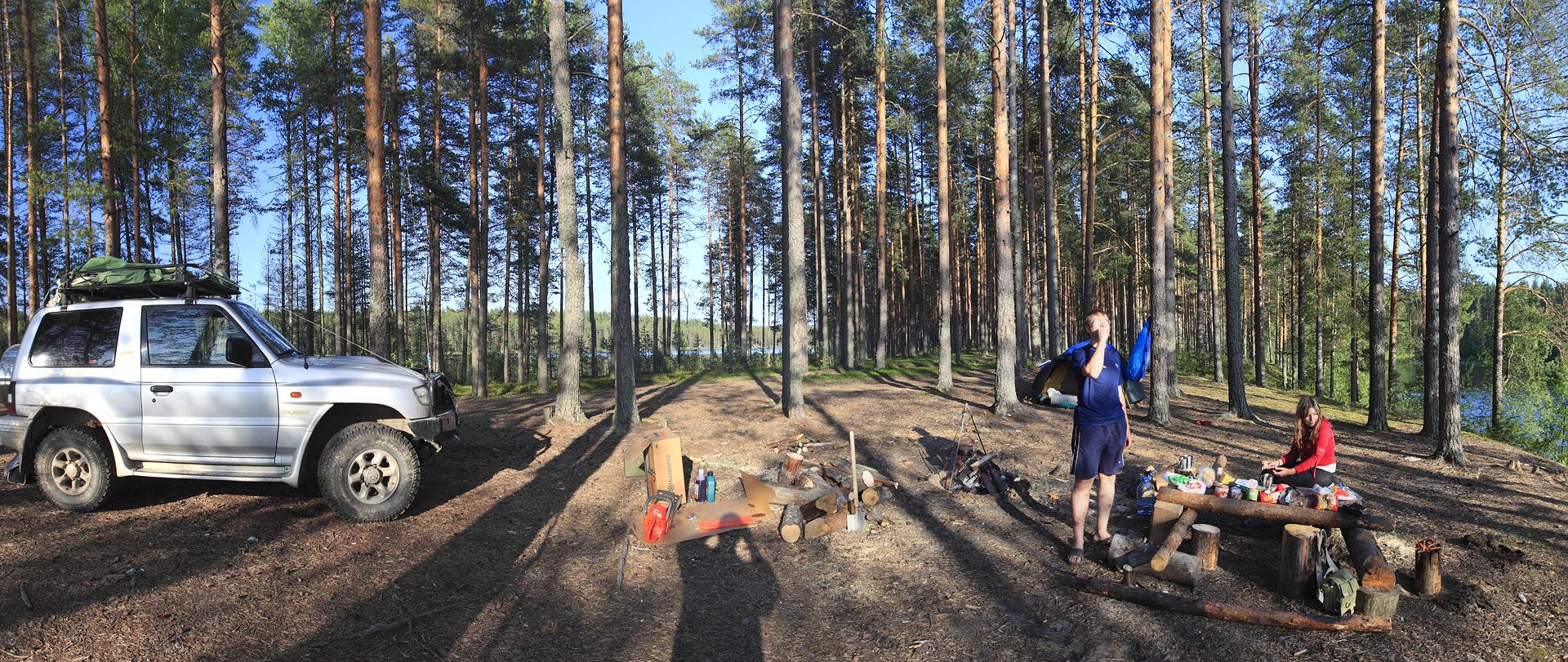
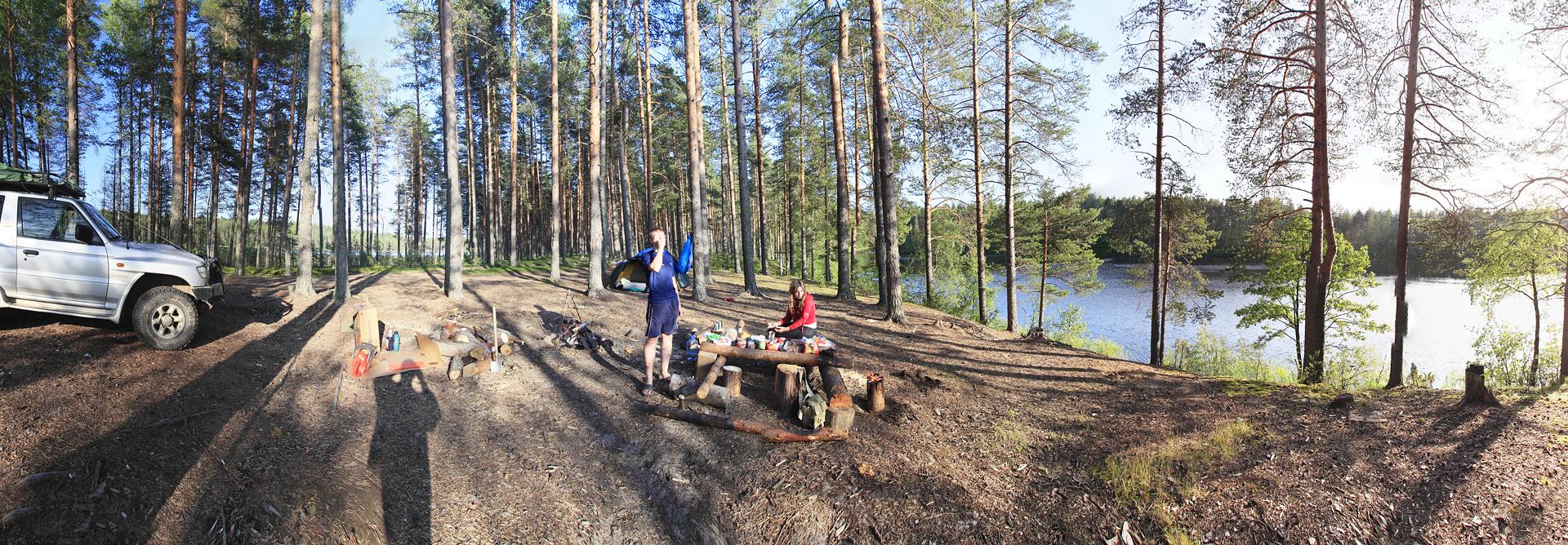
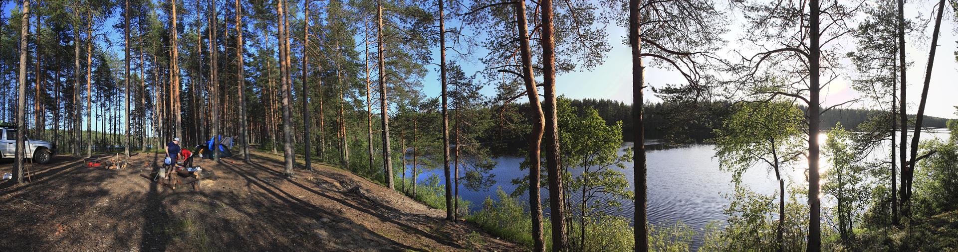
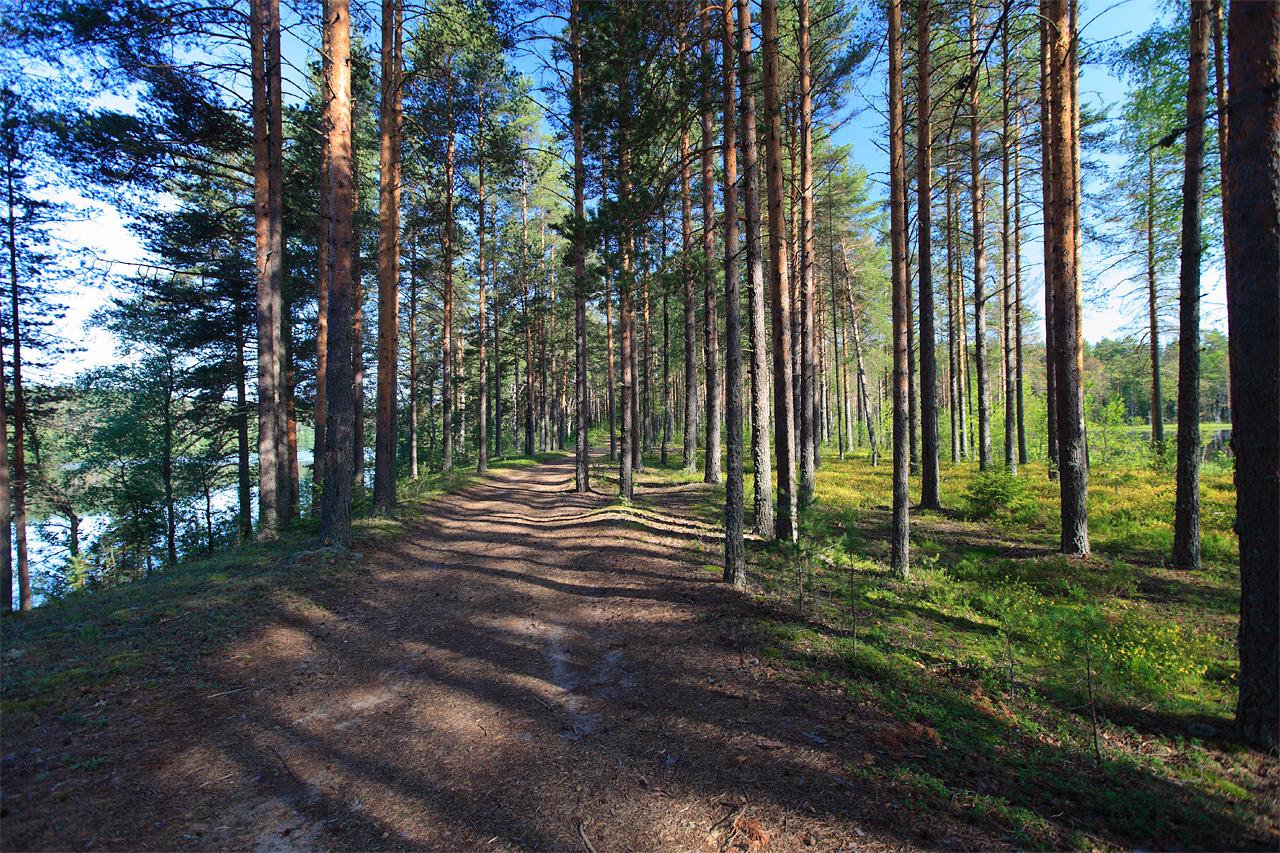
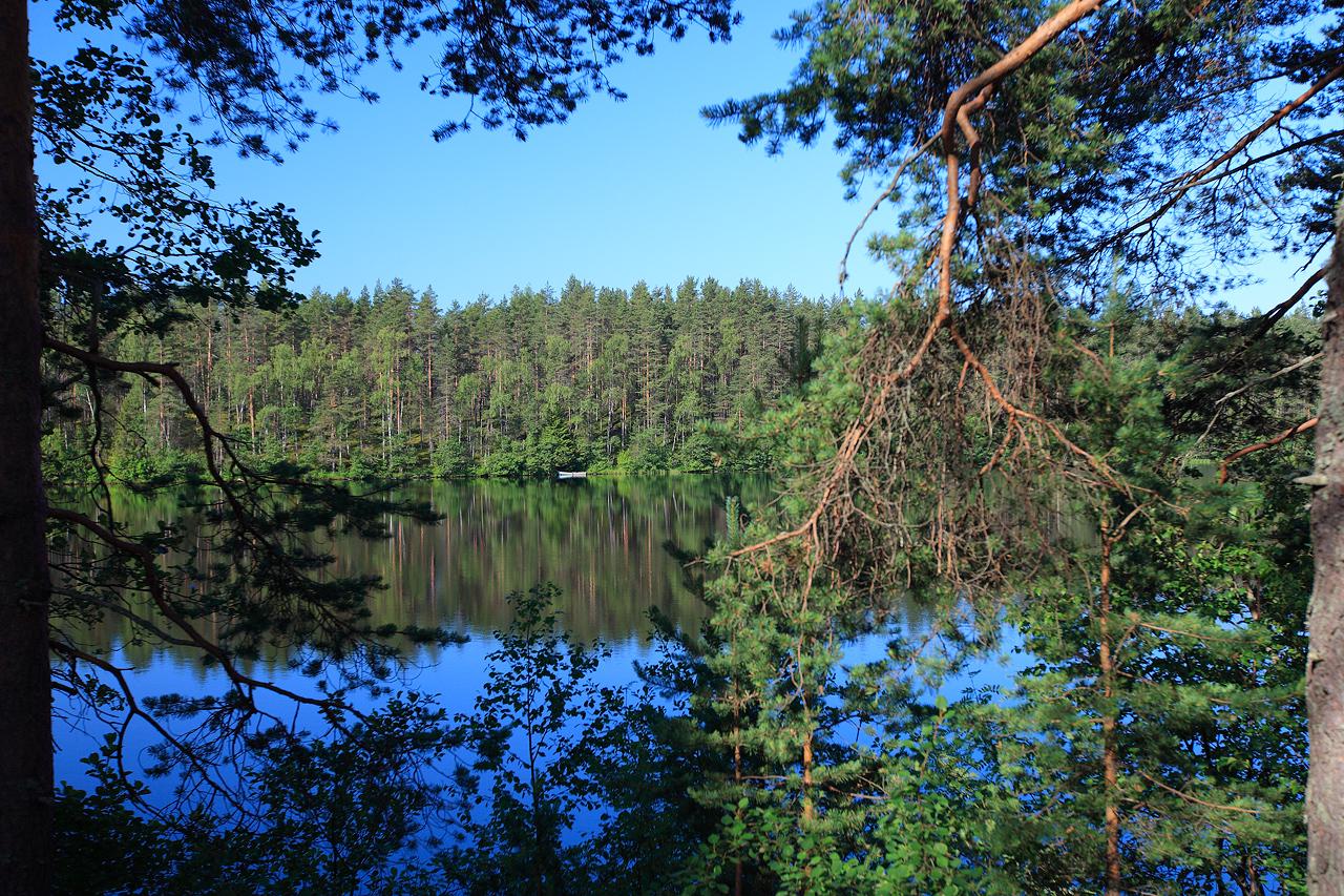
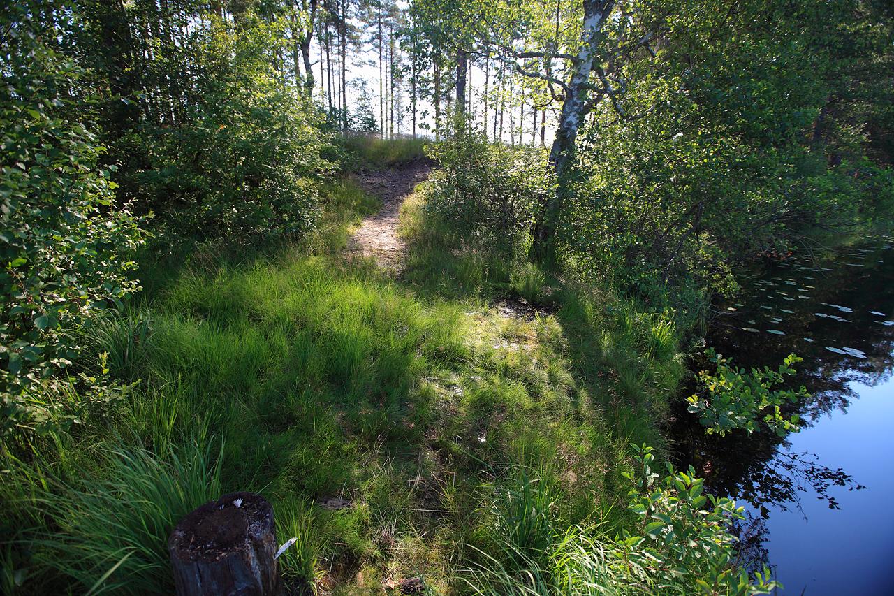
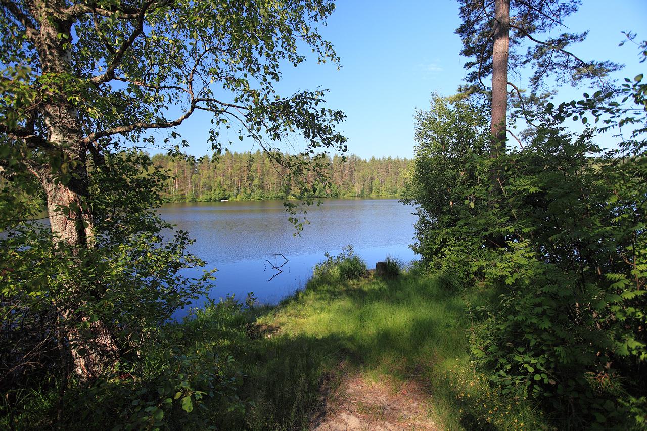
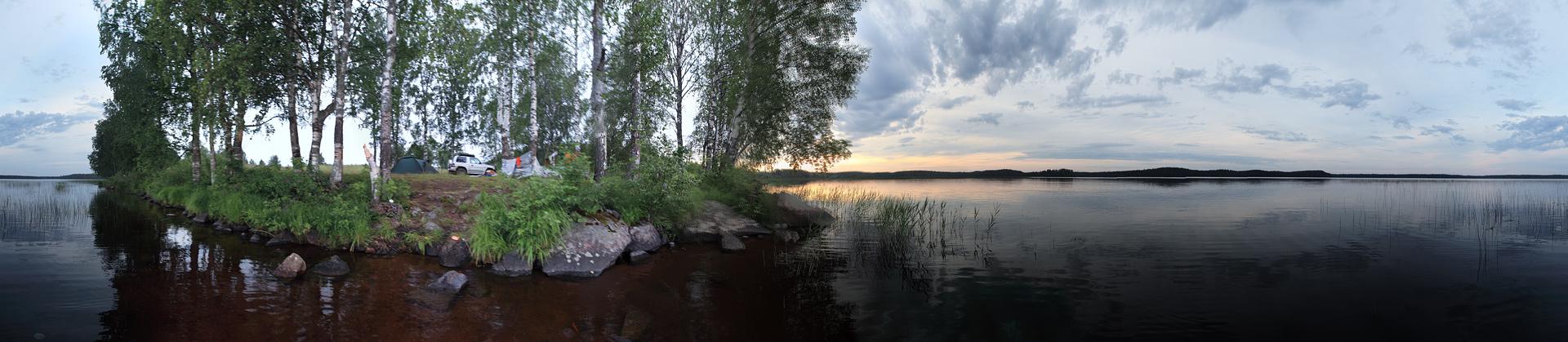
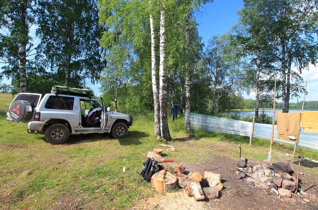
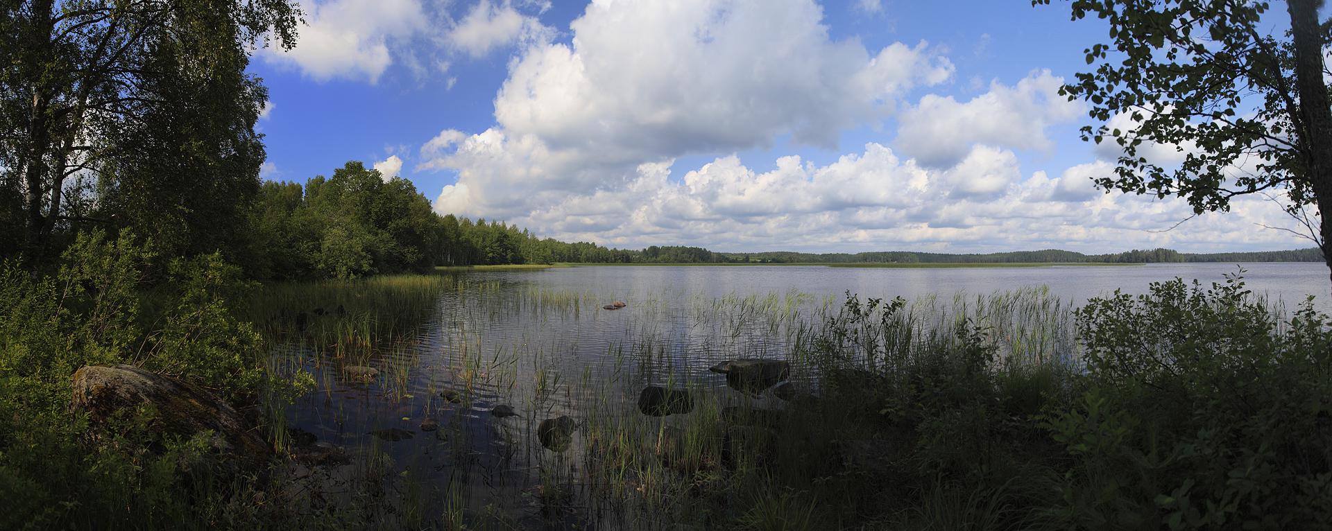
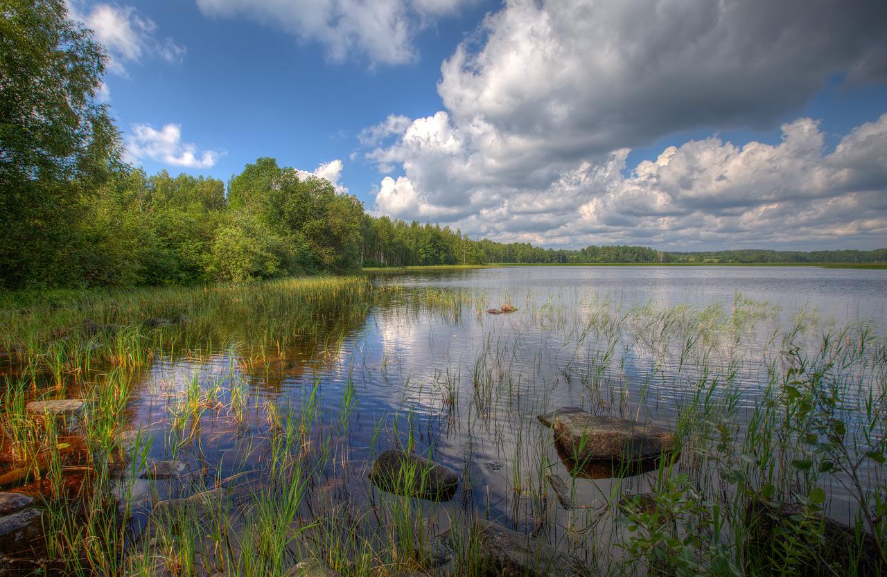
Our next destination was lake Kongolz’yarvy and few nameless lakes just east from Olonets. After short ride a couple of searches we found a perfect place for our next camp. We stood on a thin isthmus between two lakes, bigger one named Kongolz’yarvy, smaller one was unnamed according to our map.

 A lake to the left, a lake to the right


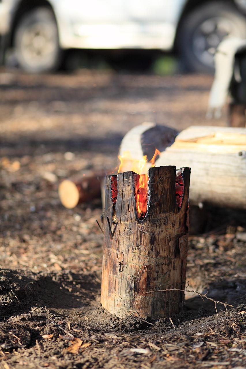
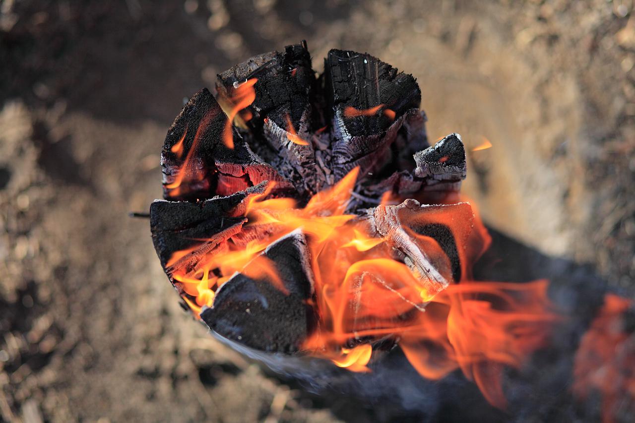
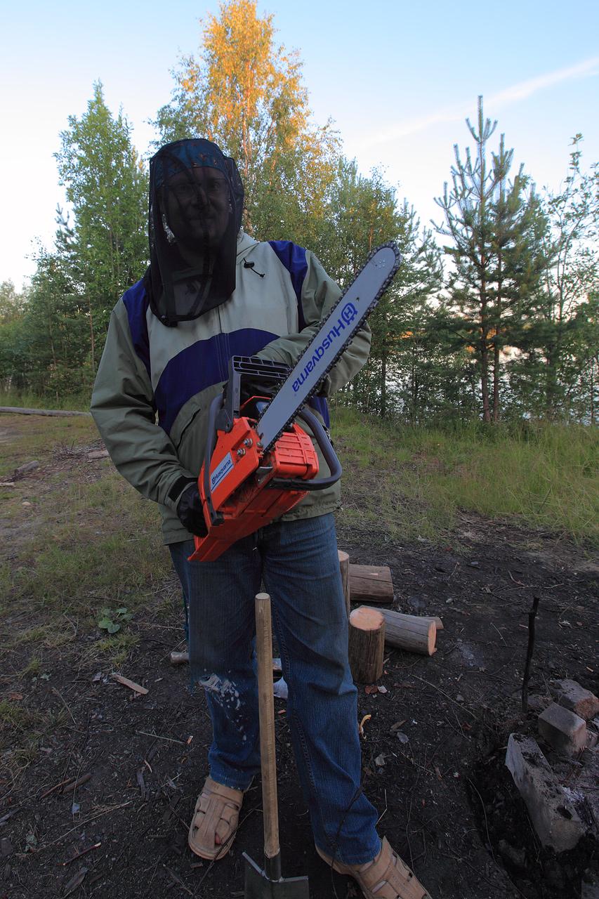
P.S. I always wanted to try and make a lumberjack candle (or Finnish candle). That’s an old trick of Finland army to make small fireplace inside pine tree trunk, very useful especially at harsh North winter (the fireplace won’t melt snow and go down). All you need is chainsaw, dry (dead) pine tree trunk and a bit of gasoline or diesel fuel (you can do a trick an old way - with pine needles and pieces of dry bark. Gasoline is really like a cheat).

Just cut part of trunk, put it in vertical position, make vertical cuts, splash a bit of gasoline in the center (or just stick in the cuts enough pine needles and dry bark) and light a fire. After a few minutes you could put a kettle on top of a “candle”, the fire won’t go out.

Today’s story is all about world war two and… game of geocashing.

If you like to travel to some remote places and still want to find there some notable, historical or just beautiful places, you could use the help of geocaching community. Well, what is gecaching you wonder… well, that’s easy. Do you read in your childhood some pirate stories about treasure islands, pirates, buried treasure? Some people just thinks it unfair all the treasure are long gone, and, frankly, in treasure hunting the result isn’t as important as the hunt itself, the thrill, adventure, travel at some unknown locations. So, some romantic people decided – “let’s make our own buried treasure . And, as we are living in hi tech era, let’s use GPS coordinates instead old worn out maps with bloodstained cross at the corner”. And thats how the game of geocaching begins.
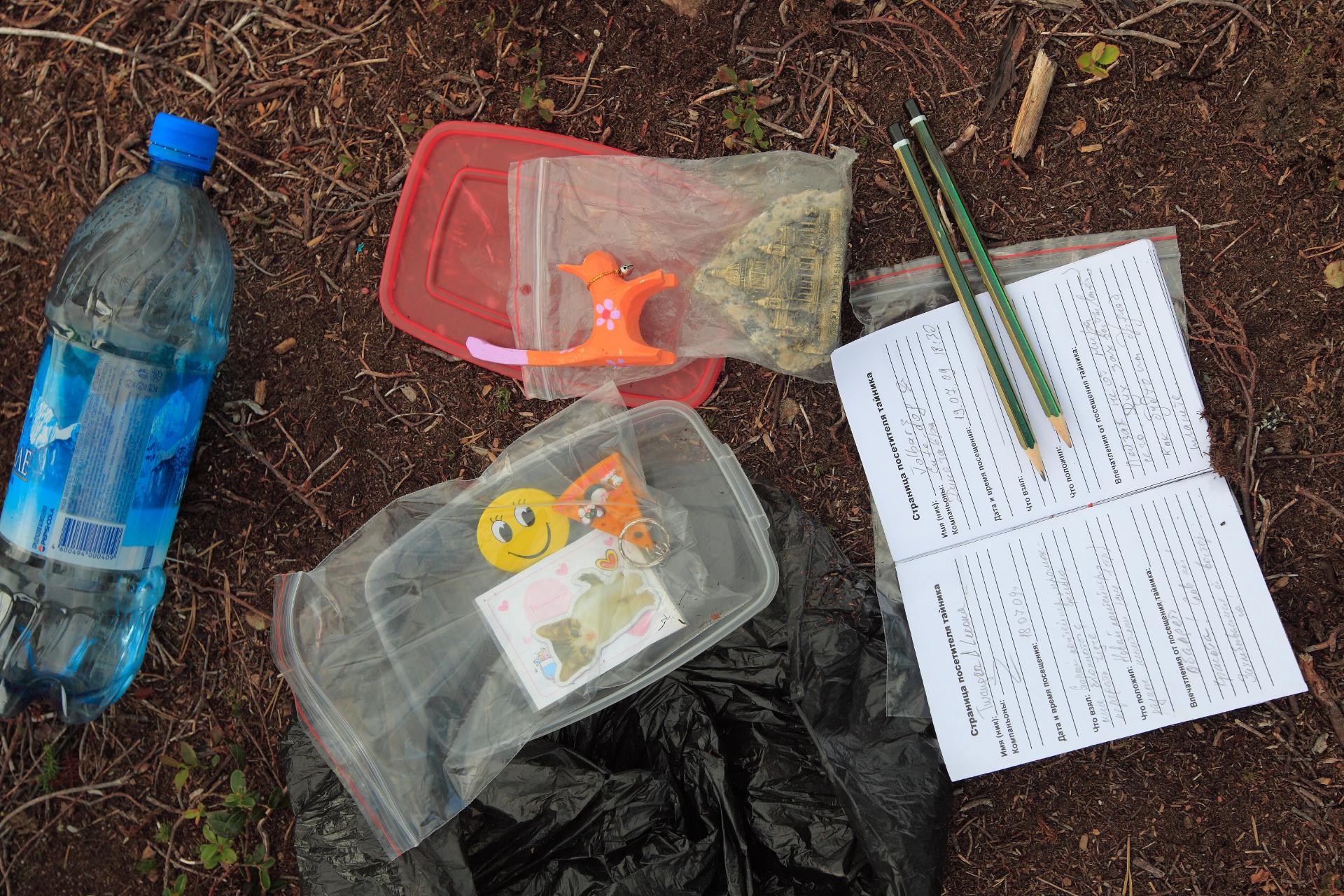
The rules is simple: you find some place (traditionally geocachers look for most interesting places) and hide there a cache – an waterproof container with some souvenirs, notepad and a few pens or pencils. Than you place the GPS coordinates on geocaching community website with description of the place, telling the story of why this place is notable or worth a visit and describing the exact location of the cache. Then other geocachers who like your description will come to visit the place you found, trying to find the cache.
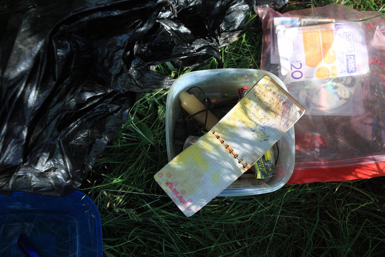
If you found the cache, you should leave your mark at notepad (log of the cache), and you may take some of the stuff inside (except the notepad and pens), leaving something of equal value instead.
Well, to tell you the truth, the resulting game is fun. And you visit really interesting places with knowledge of a history of that place.
So, as you already understand, on a 4rth day of our little expedition we decided to go sightseeing and treasure hunting. And our first destination was “strawberry waterfall”, and our first geocache.
Total travel time: 3:25
Total travel distance: 156,07 km
Average speed: 48,5 km/h
Road types: asphalt (medium to bad condition)
Starting Point: shore of the Kongolz’yarvy
Finishing point: near the shore of the lake Ladoga
GPS Track: [OneWay]


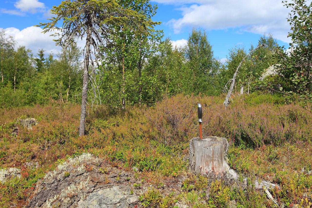
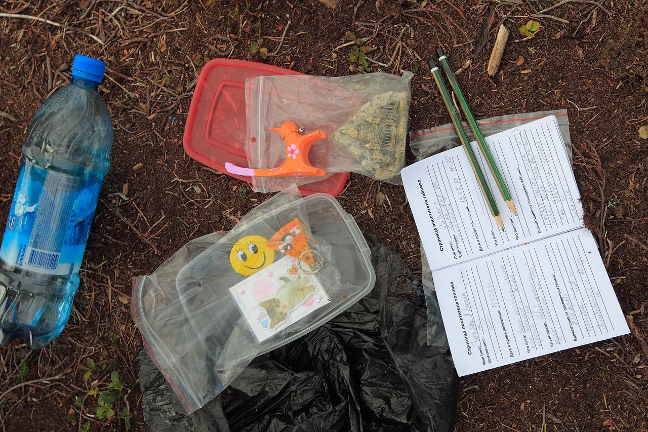
And our first cache is found!
We choose another waterfall as the second location. No, we won’t find the actual cache this time, but the whole location and road (with a bit of hardcore offroading, yep) was well worth it.
Total travel time: 1:49
Total travel distance: 31,72 km
Average speed: 17,4 km/h
Road types: a bit of asphalt, “grader” road, soil forest road (medium to bad), rock road (medium/bad), a bit of medium offroad fun while we tried different paths
GPS Track: [OneWay]


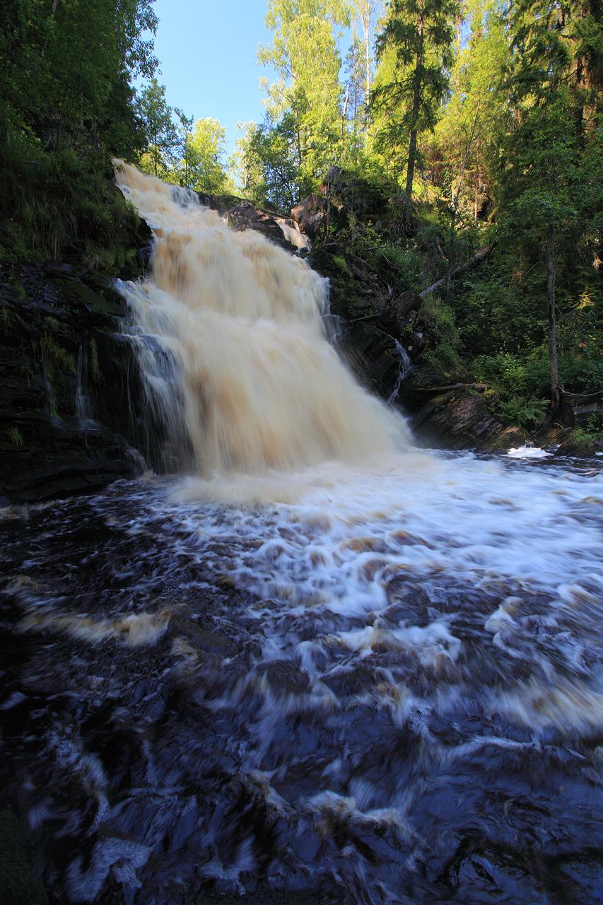
Waterfall “Jukankoski” (“White Bridges”), one of the most beautiful and magnificent waterfalls of Karelia Republic. The height of main fall - 19 meters.


As the last point we choose a place of historical value. The ruins of [Mannerheim Line], pre-ww2 fortification build by Finland army near old border with Russia.
Total travel time: 1:02
Total travel distance: 15,45 km
Average speed: 15,7 km/h
Road types: “grader” road, soil forest road (medium to bad), rock road (medium/bad)
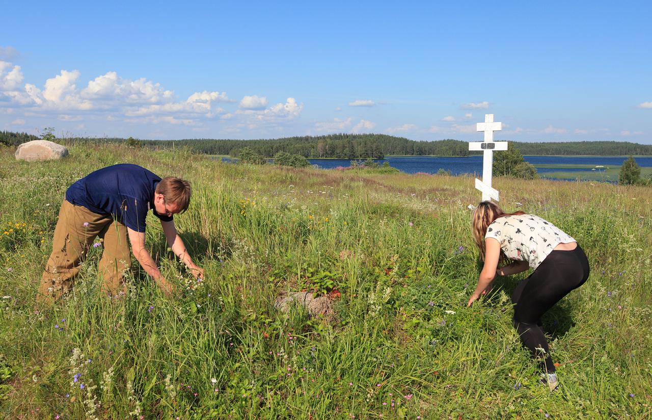
 Those shameless hungry furries. Eating strawberries grown on the old graves…
Well, what the cross marked wasn’t an actual grave but a place where 60 years ago stood a church near fortification line. The church was utterly destroyed in the heavy fights between Soviet and Finland armies. And now it’s but a small hill… and, well, a mark that lands here is one huge graveyard for both Russian and Finnish soldiers.
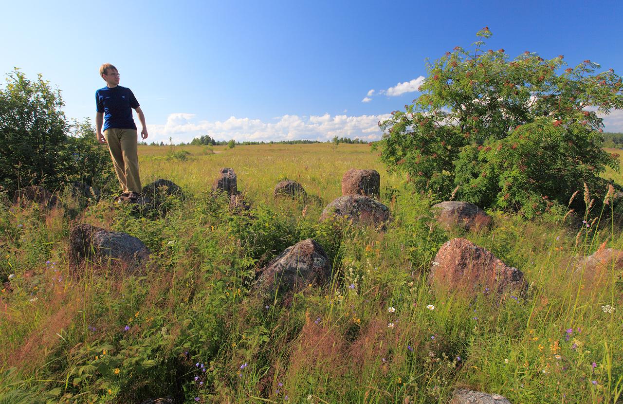
 A remnants of antitank line
 and proof of another geo cache found.
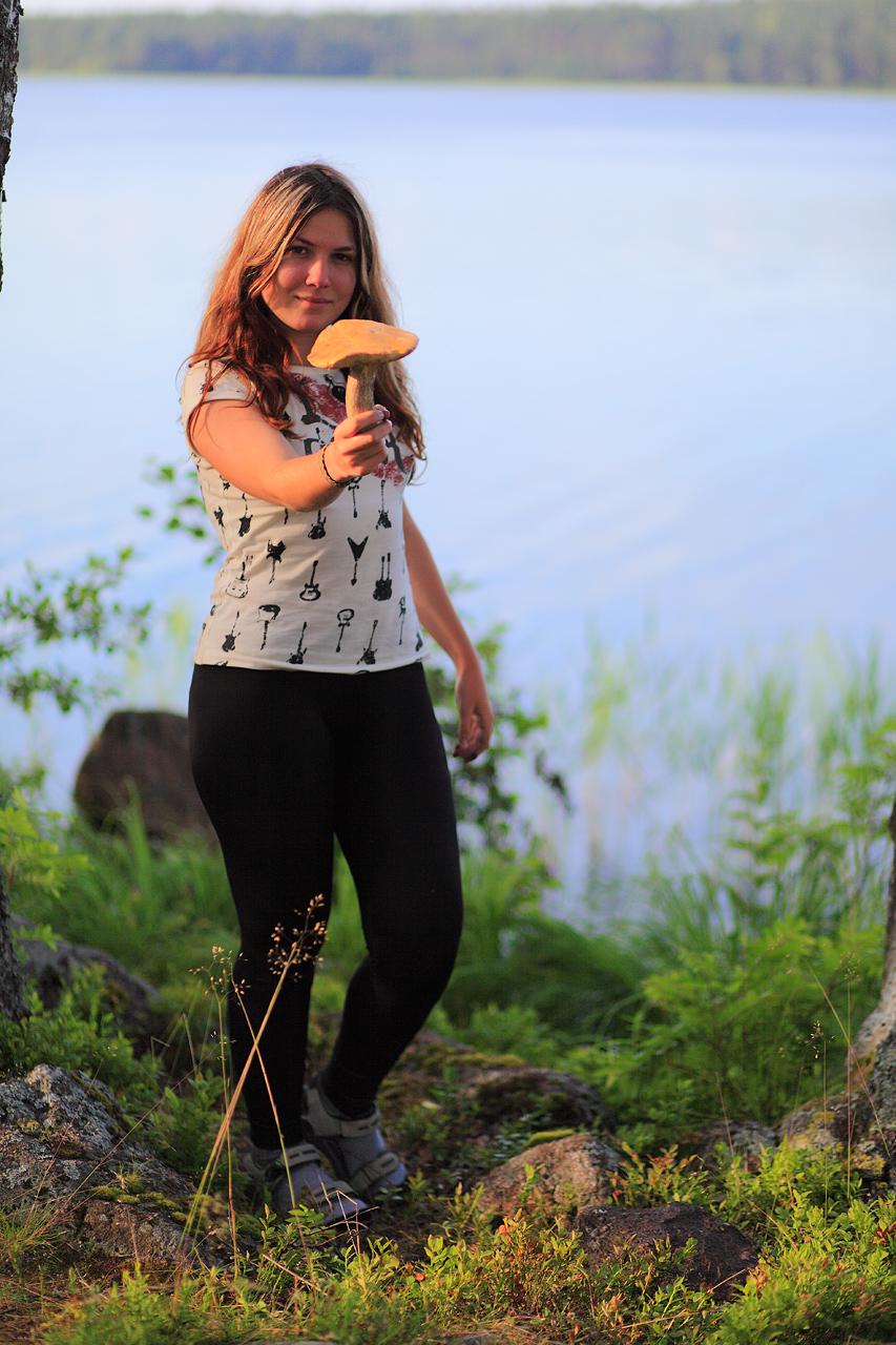
 We found some other things there…
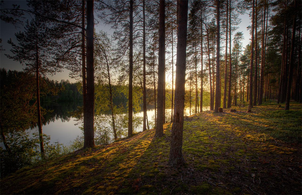
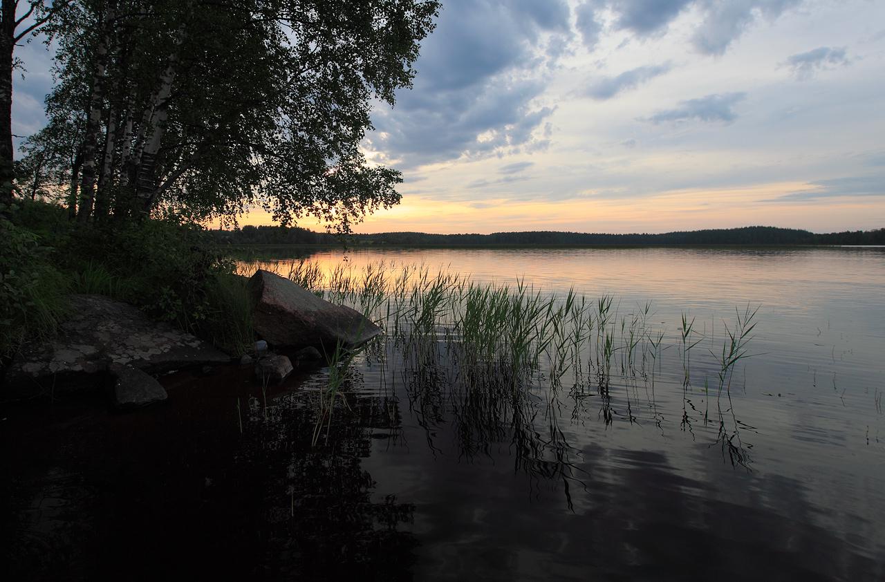
 where time stood silent…
 water was cold and still…
 and the skies were painted gold.

P.S. No educational ps for today :P.